08/19/2015
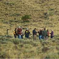
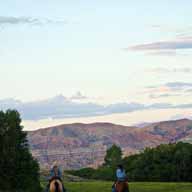
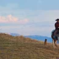
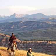
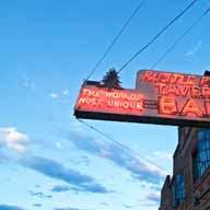
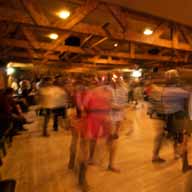
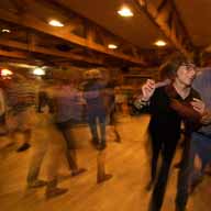
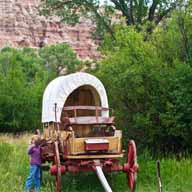
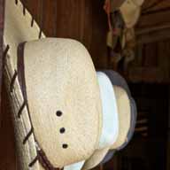
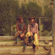
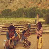
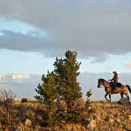
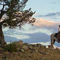
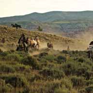
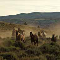
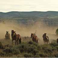
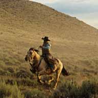
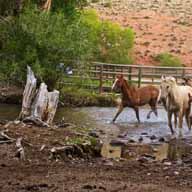
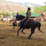
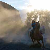
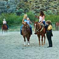
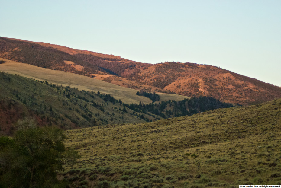
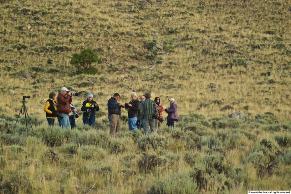
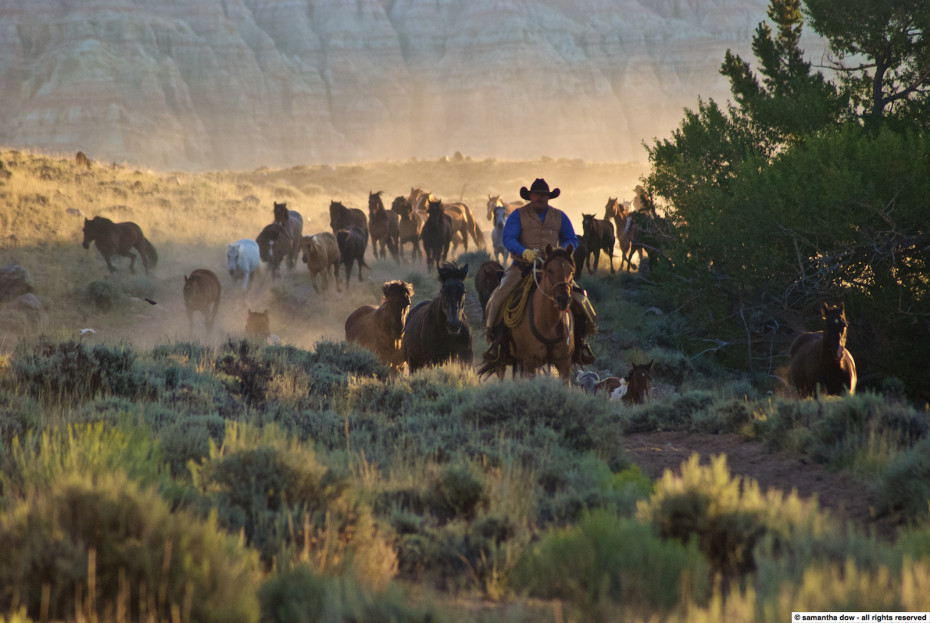
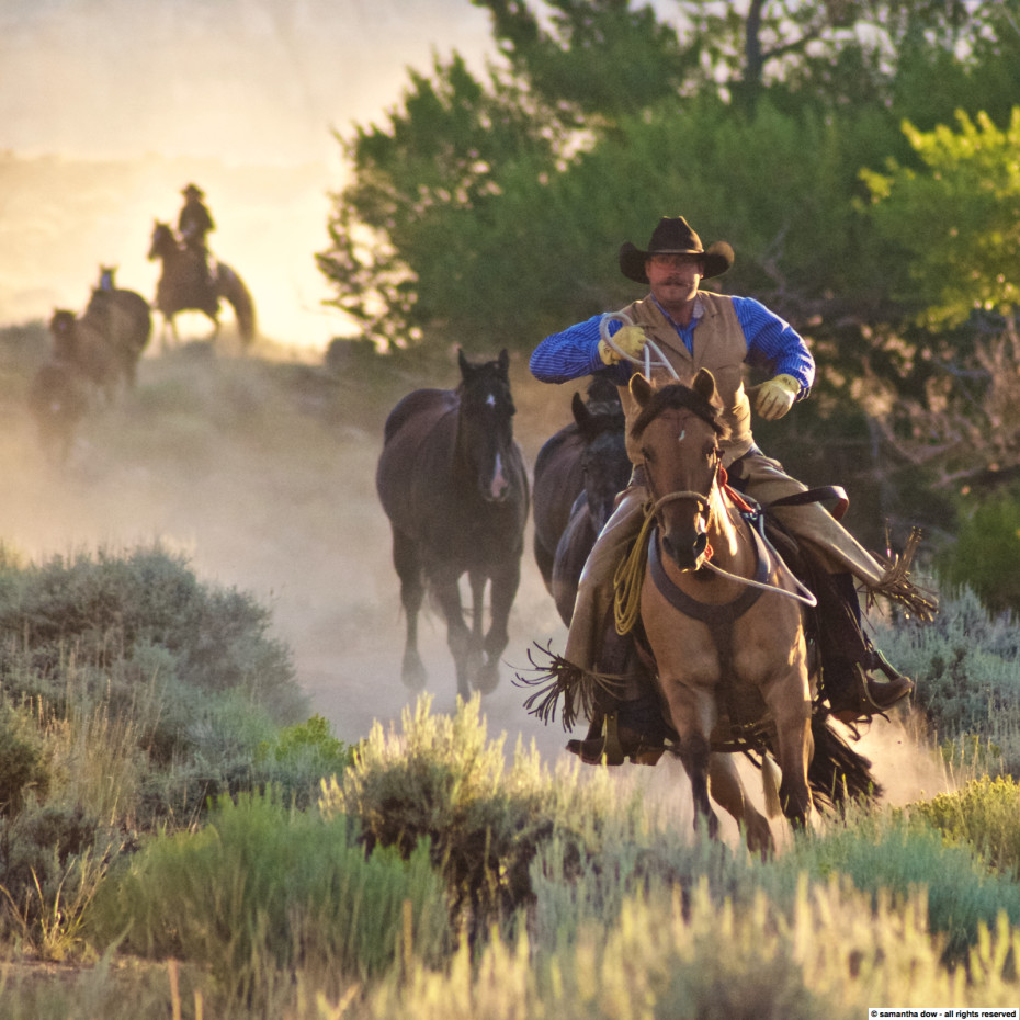
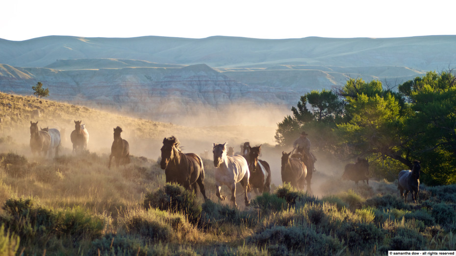
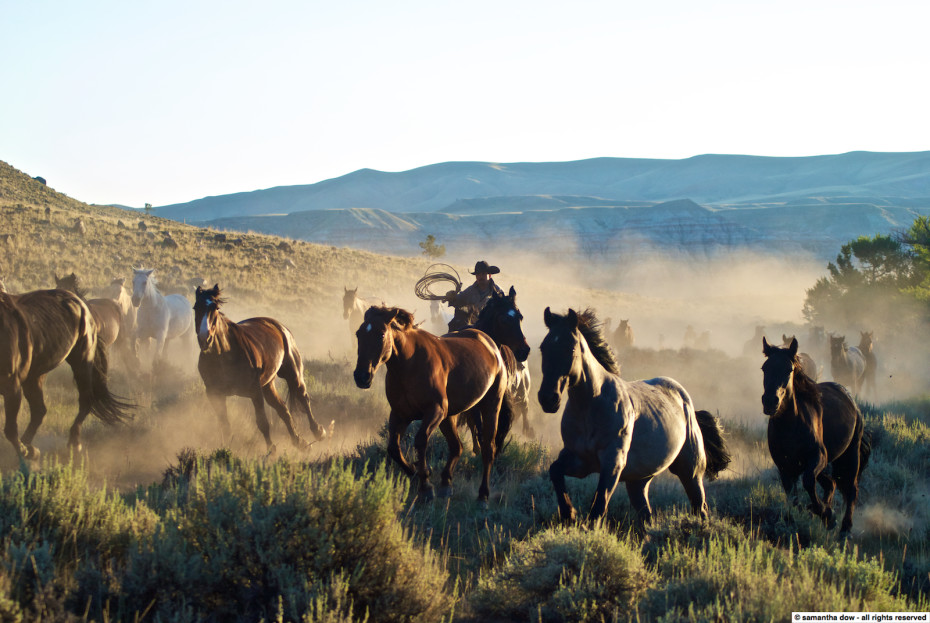
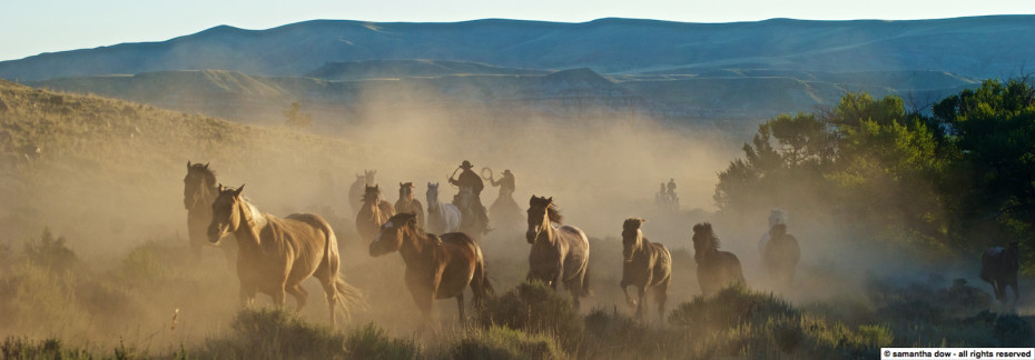
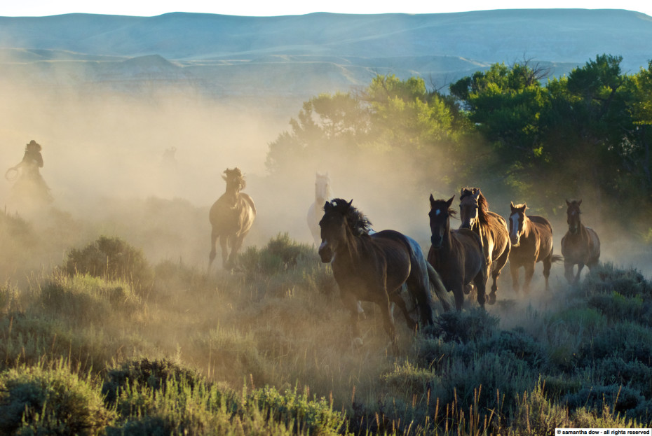
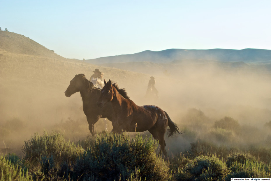
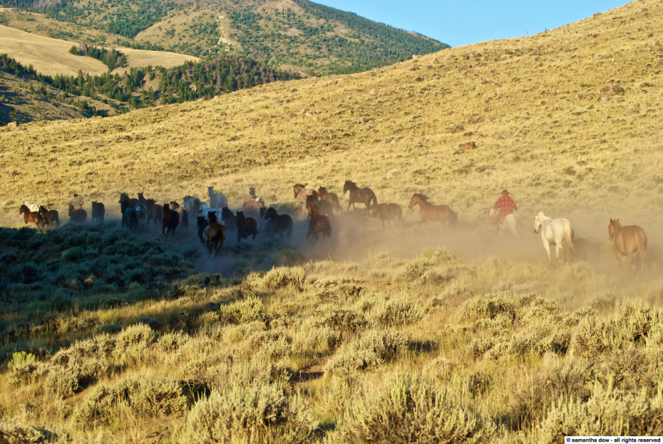
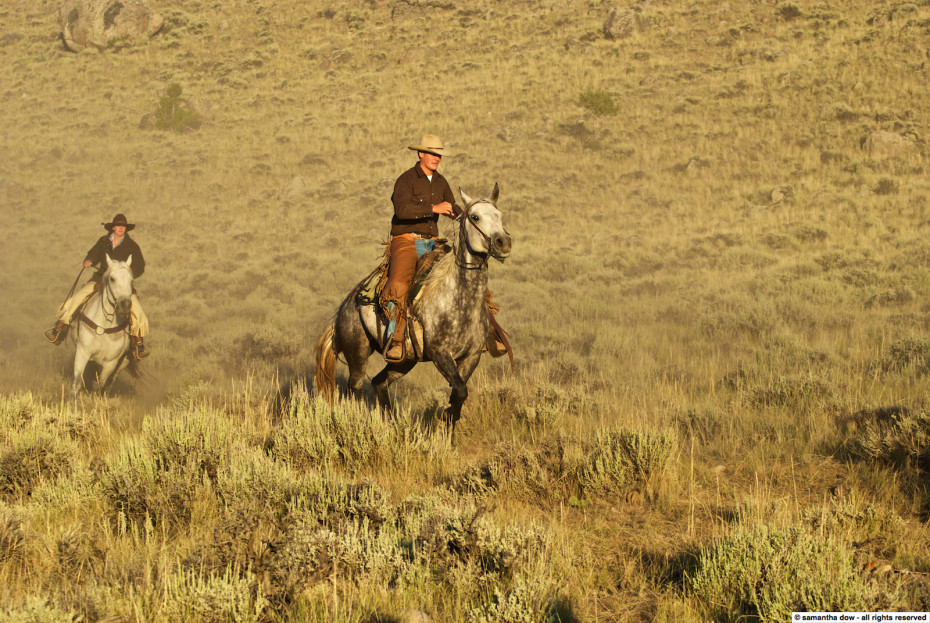
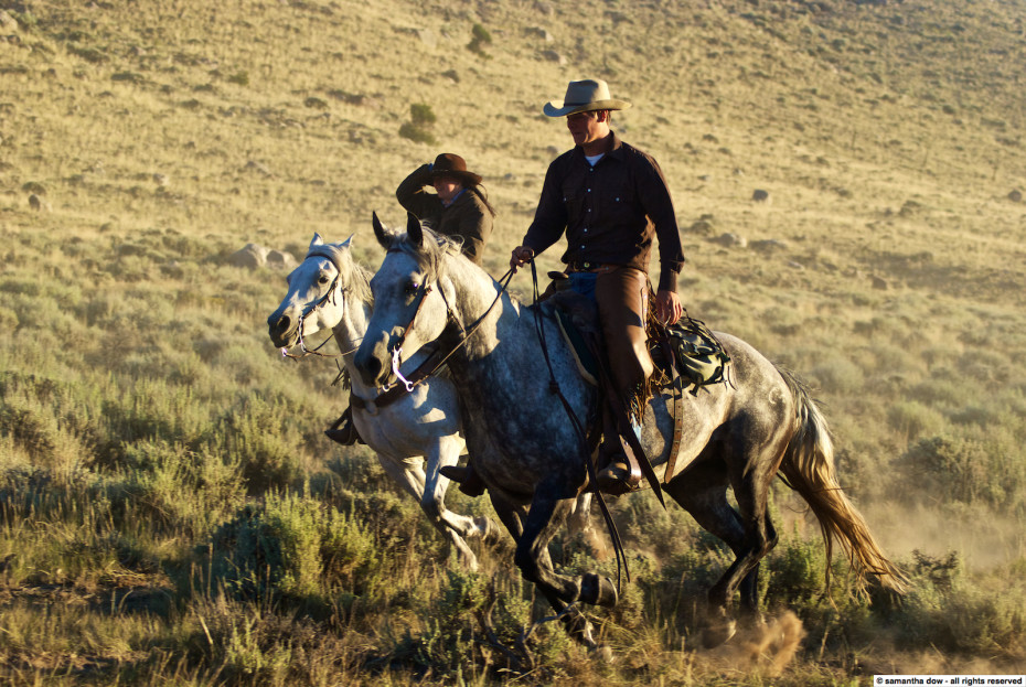
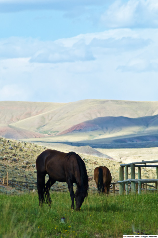
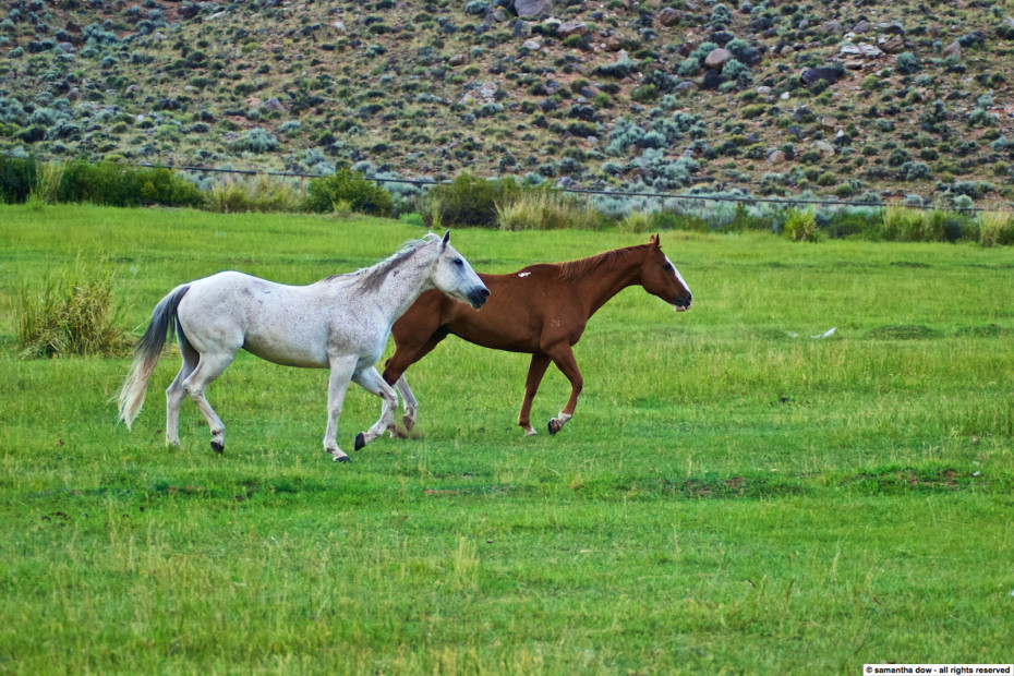
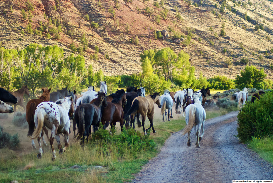
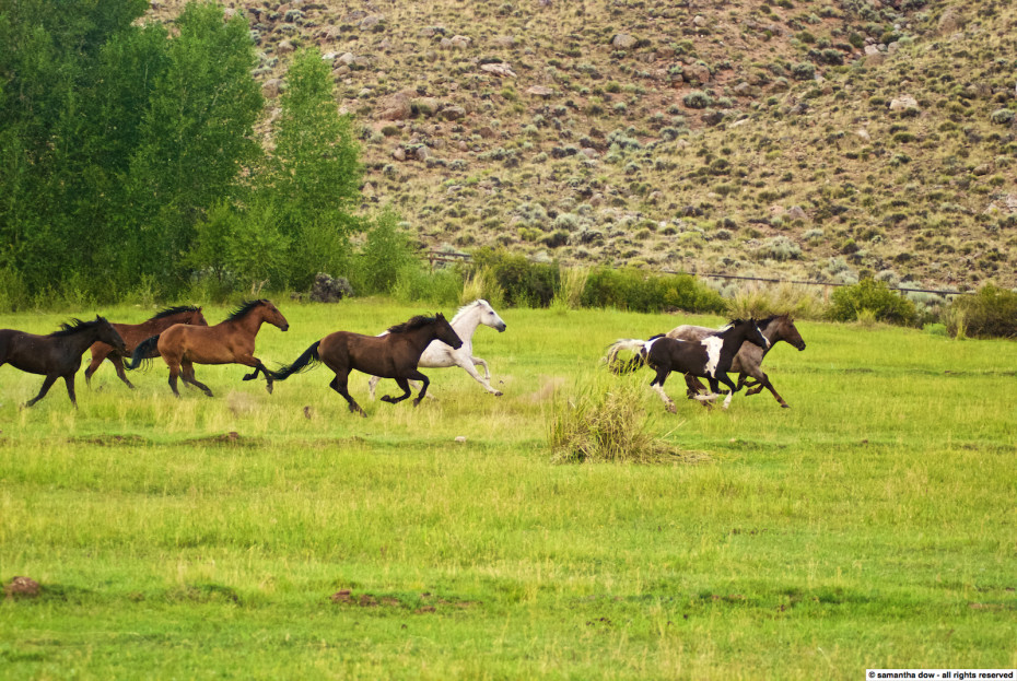
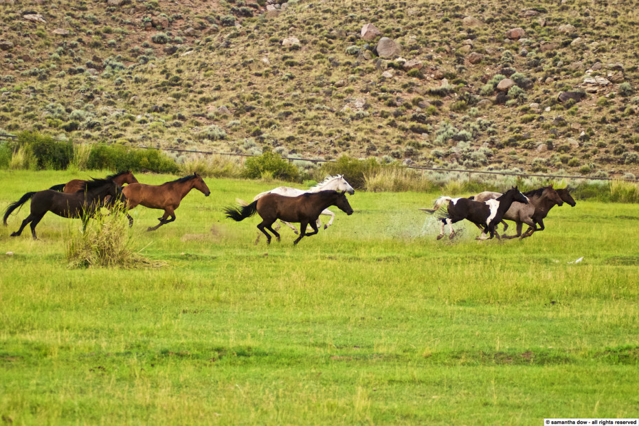
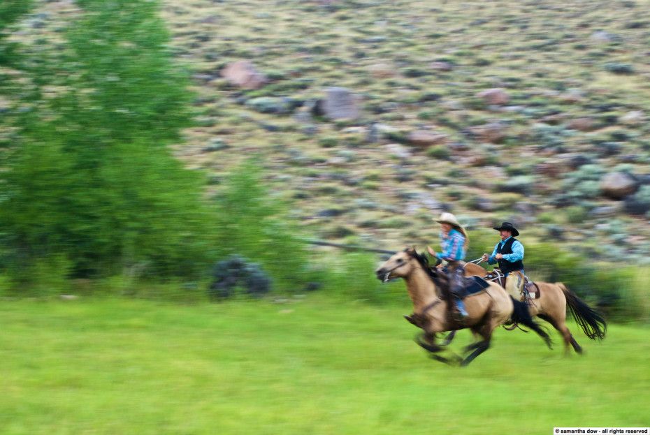
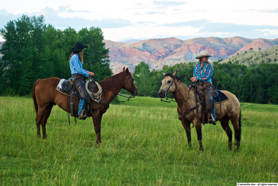
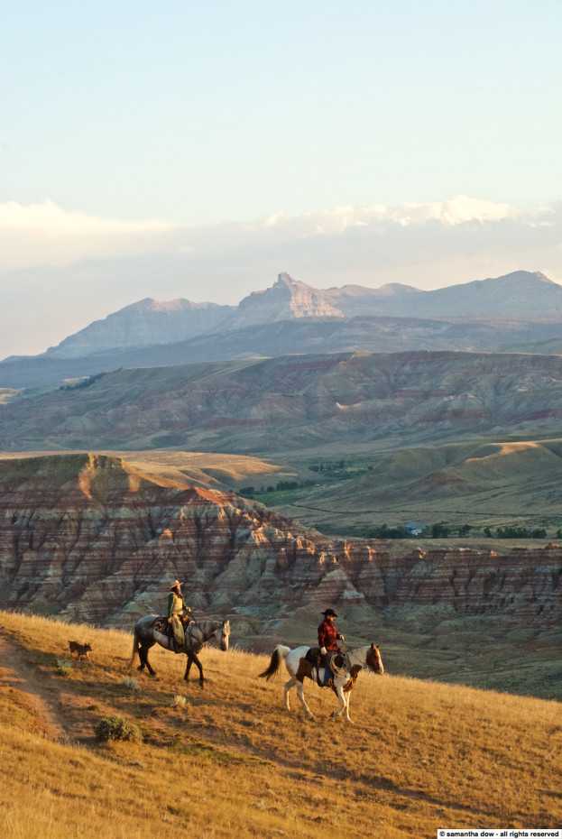
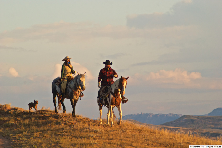
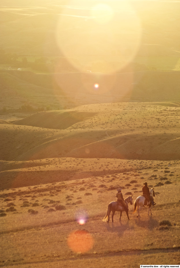
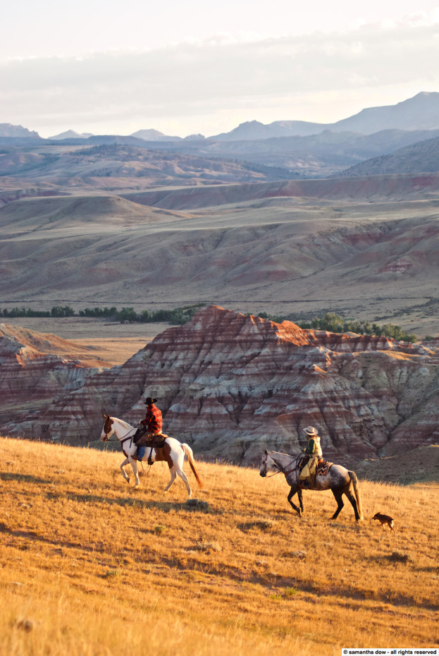
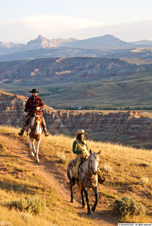
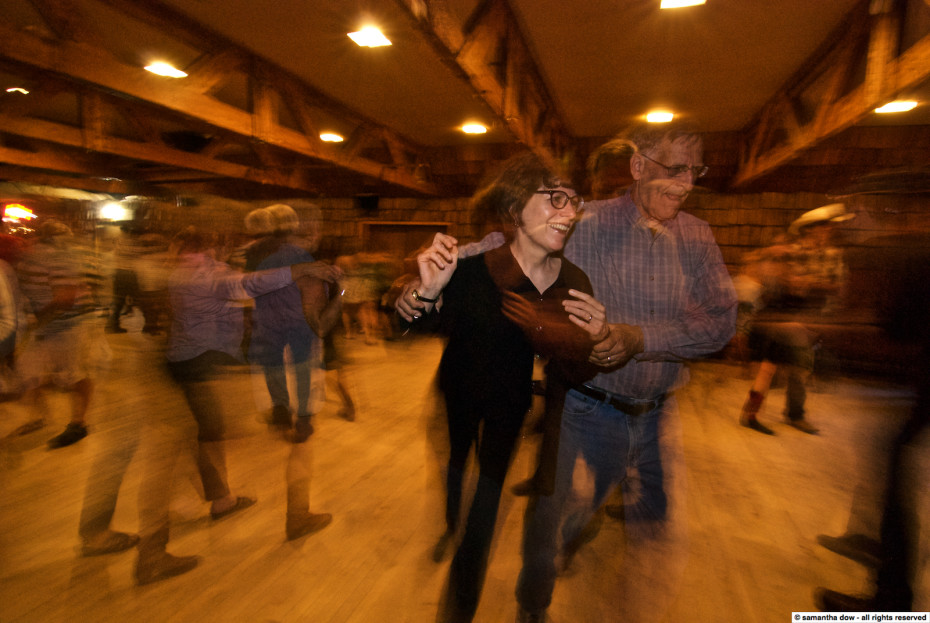
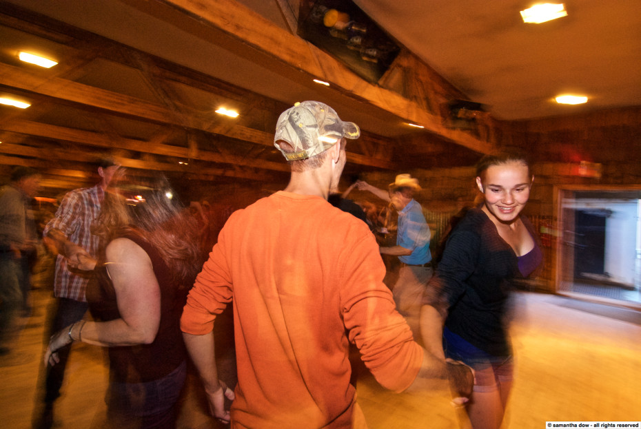
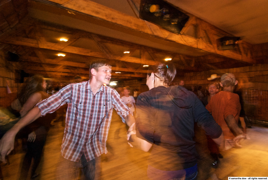
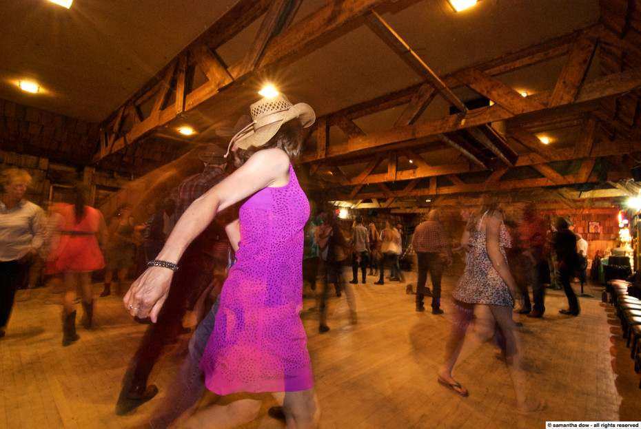
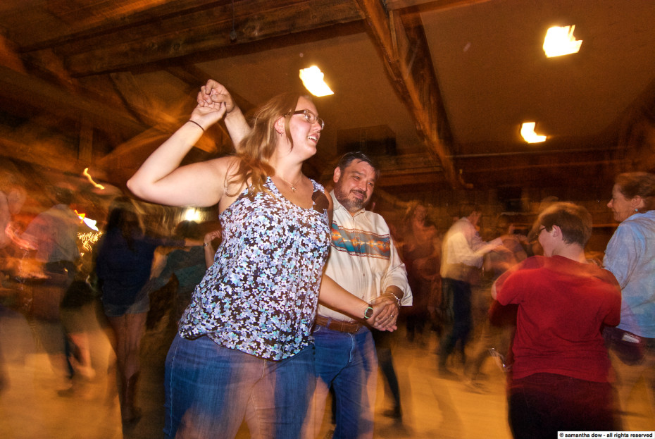
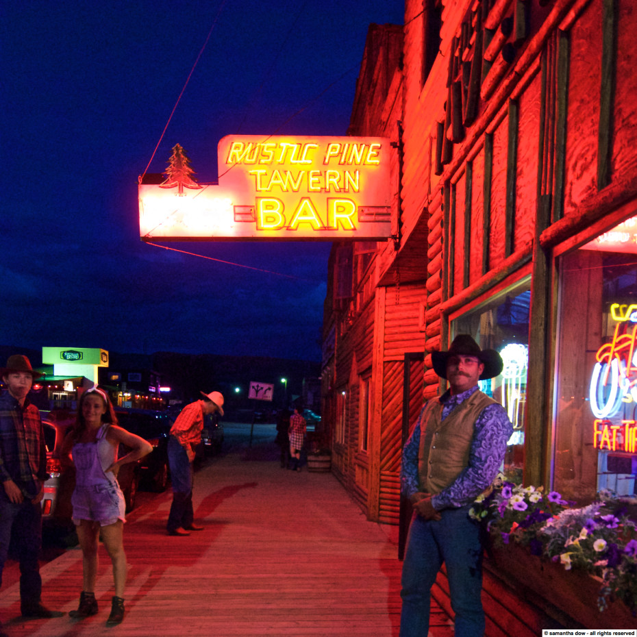
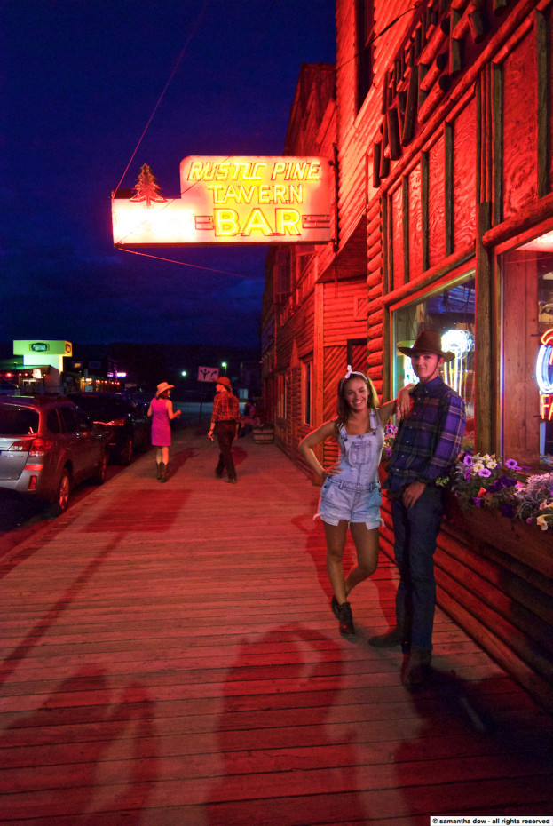
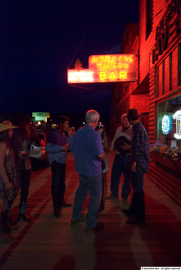
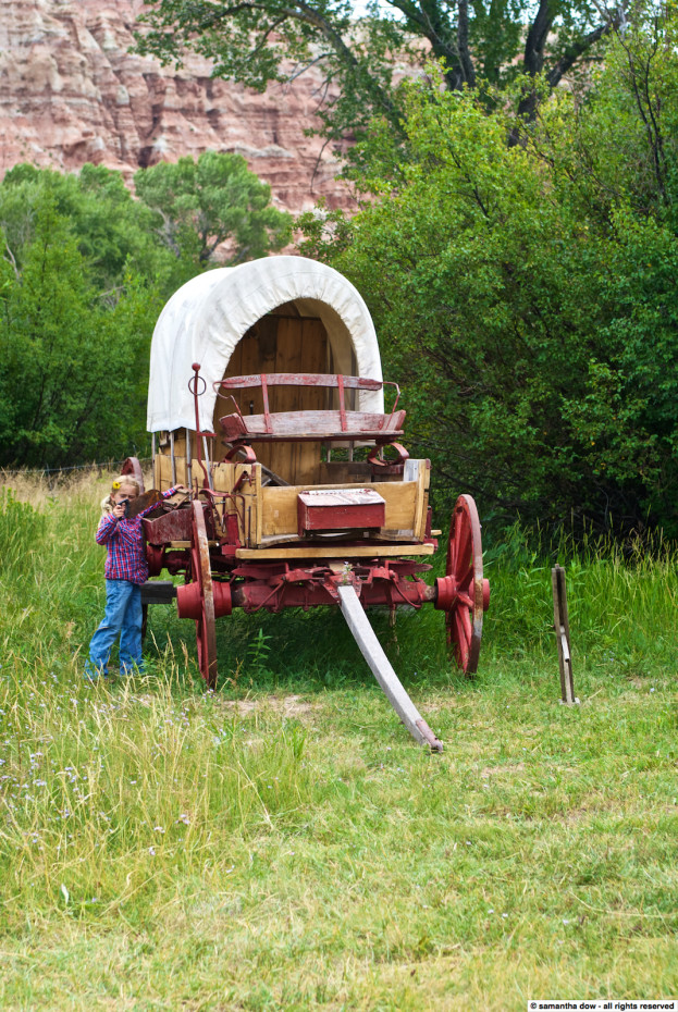
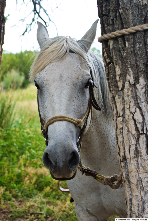
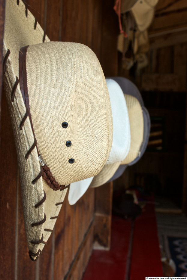
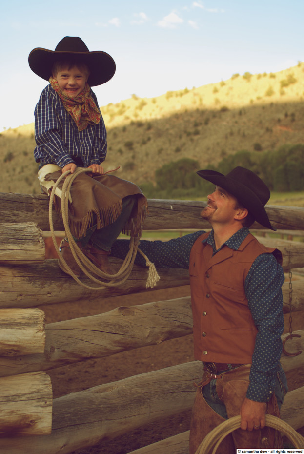
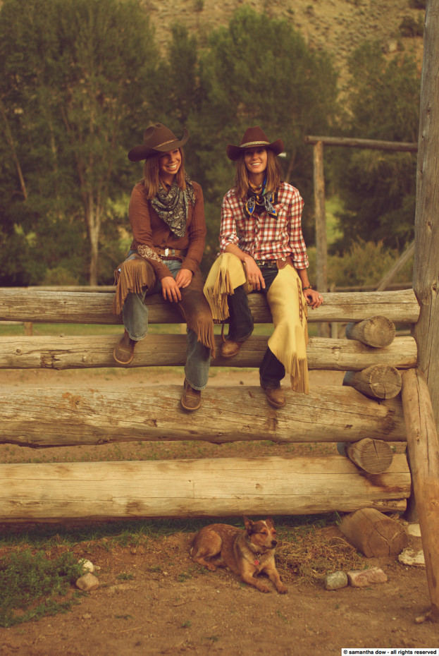
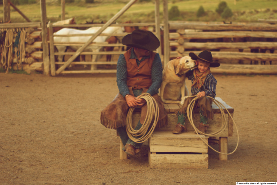
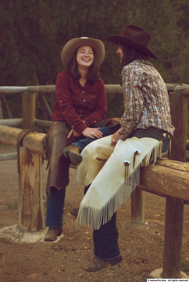
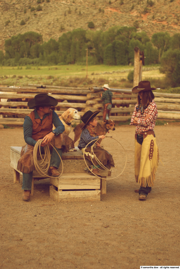
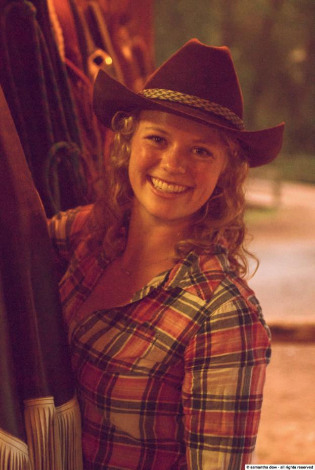
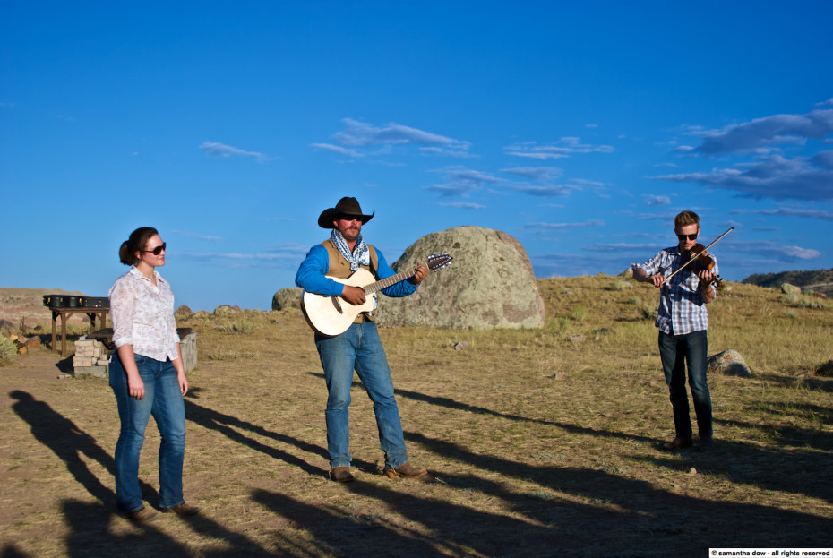
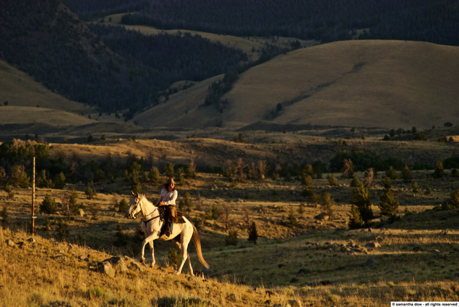
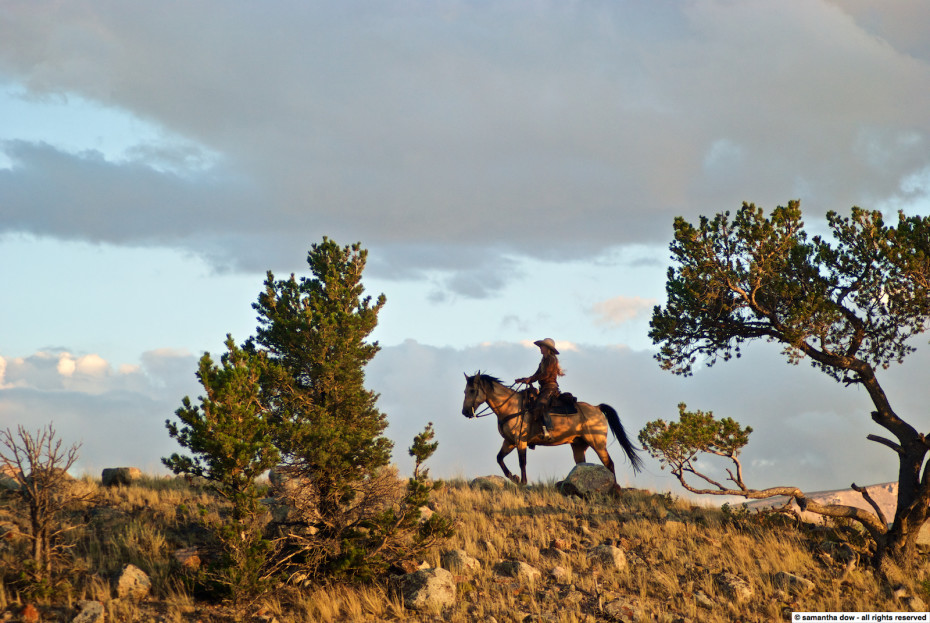
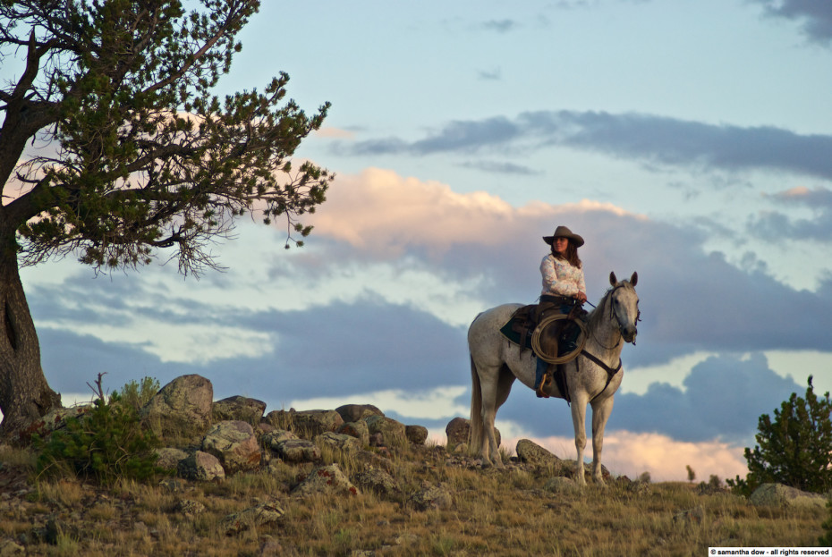
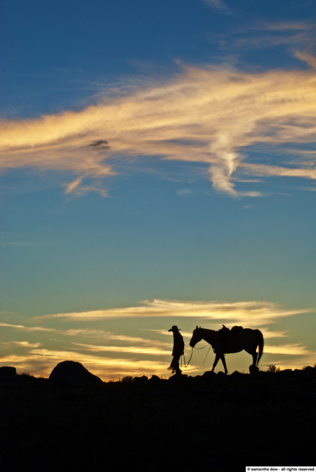
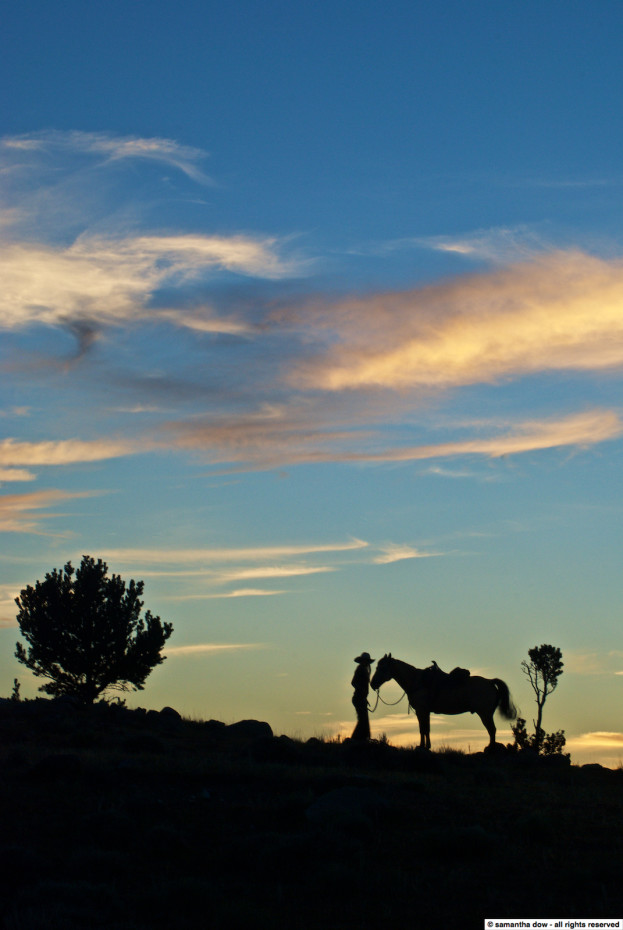
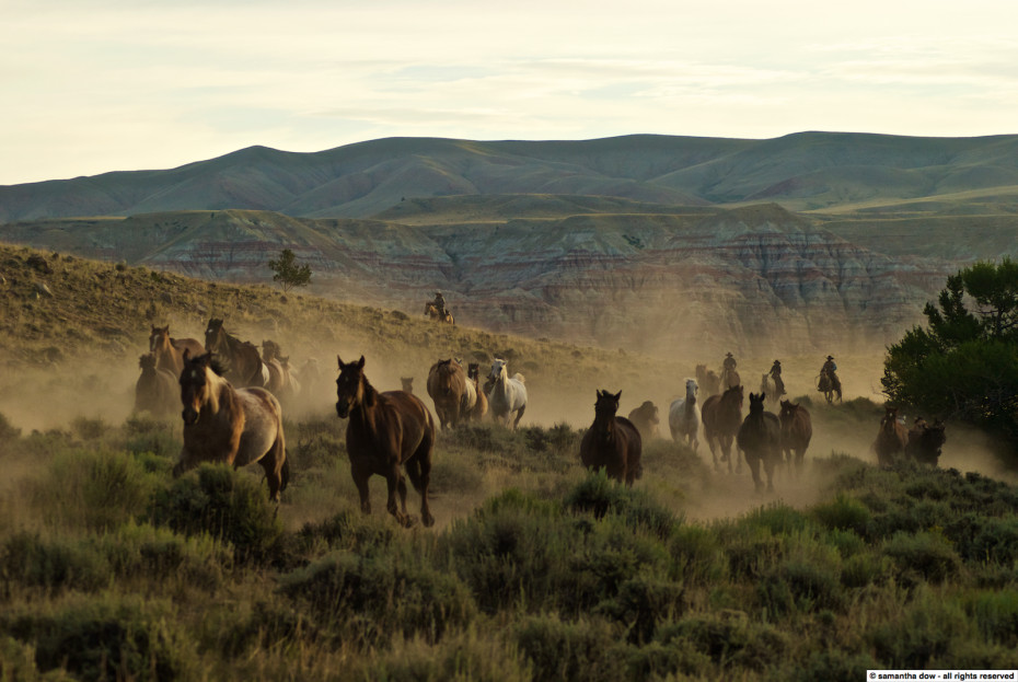
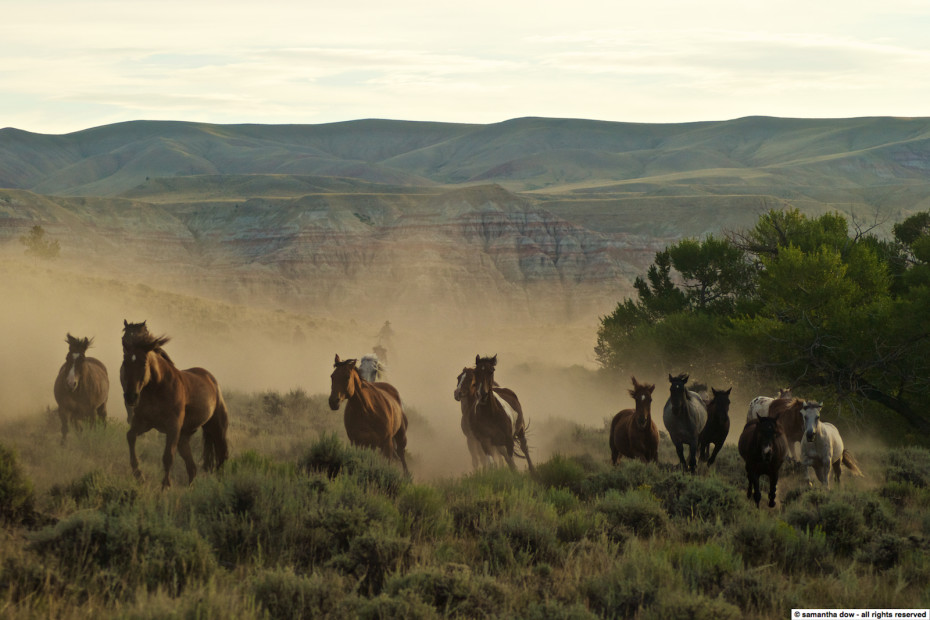
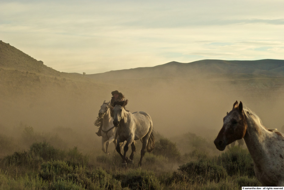
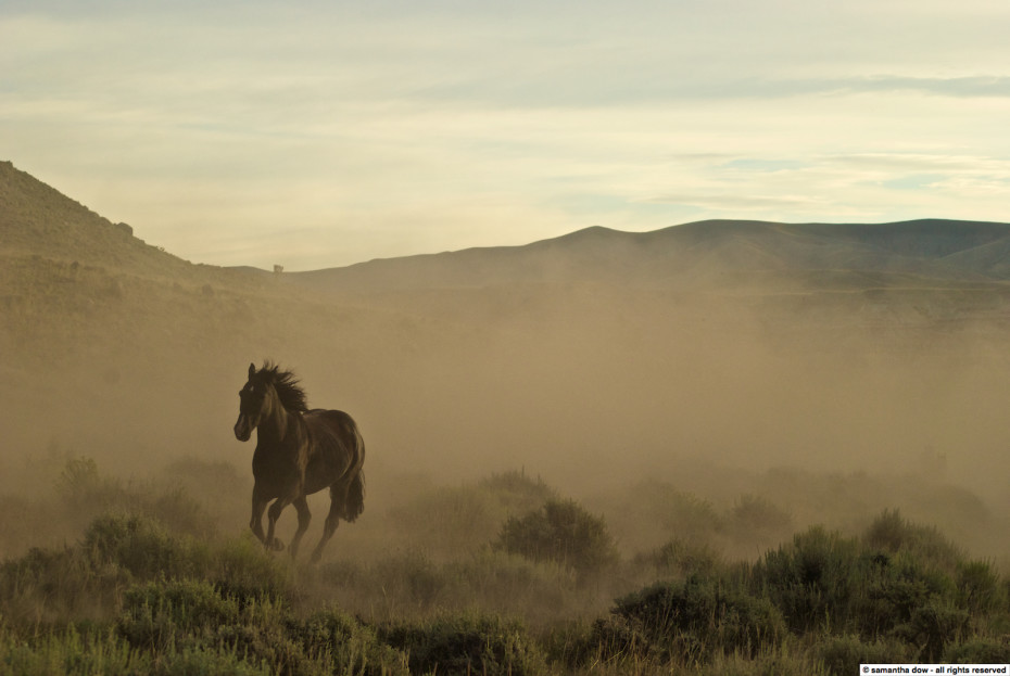
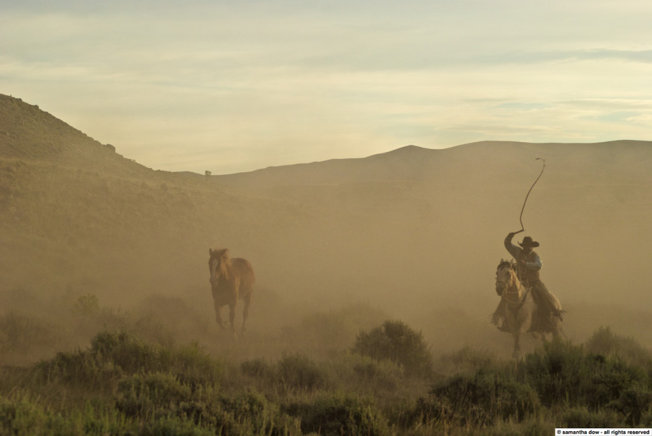
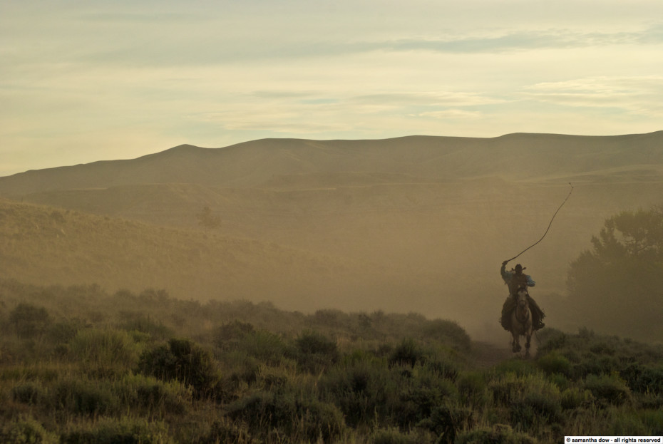
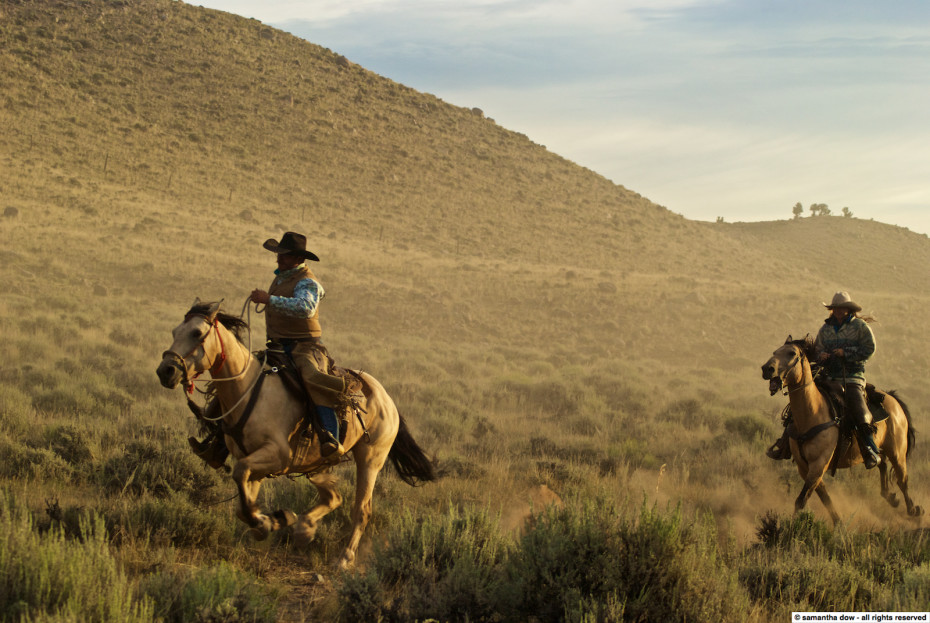
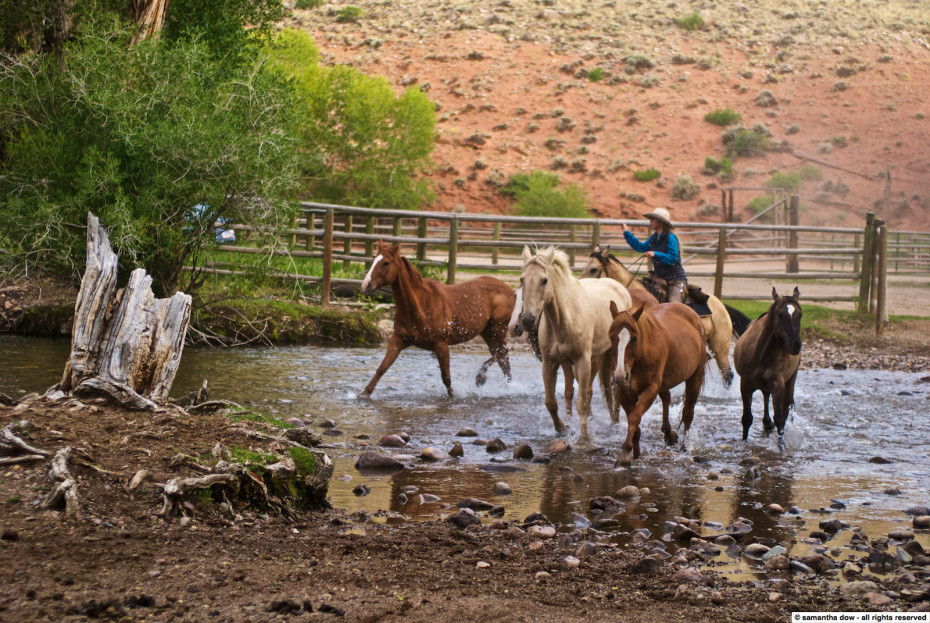
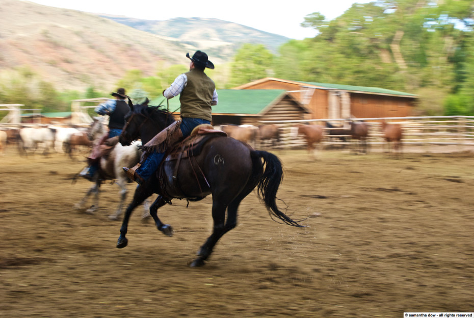
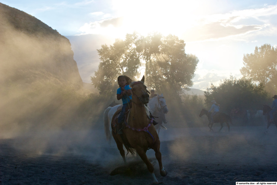
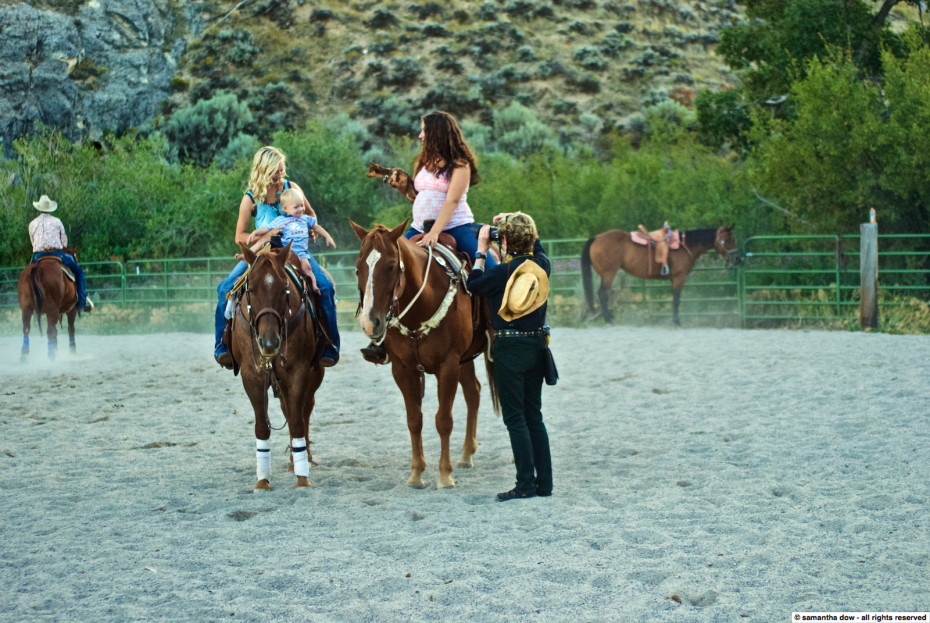
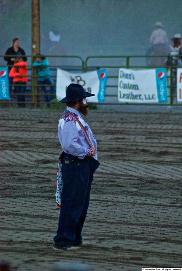
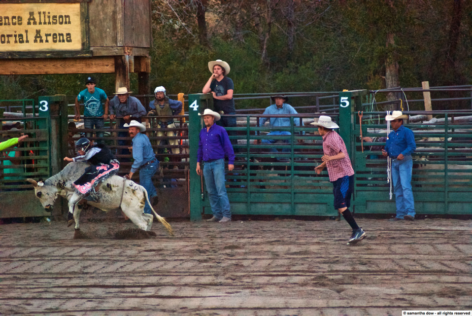
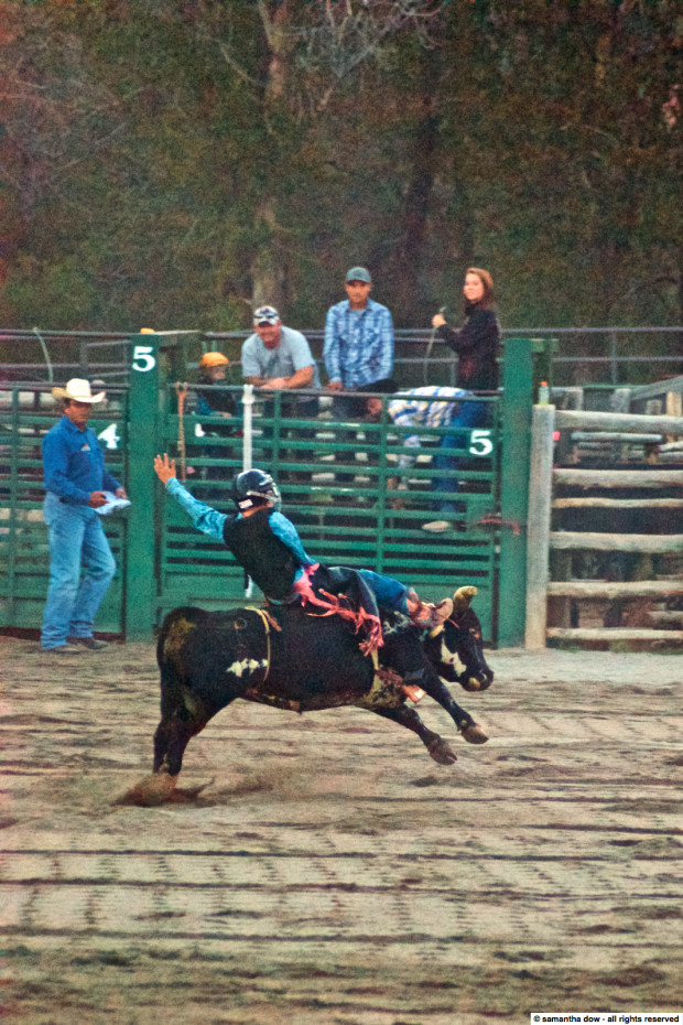
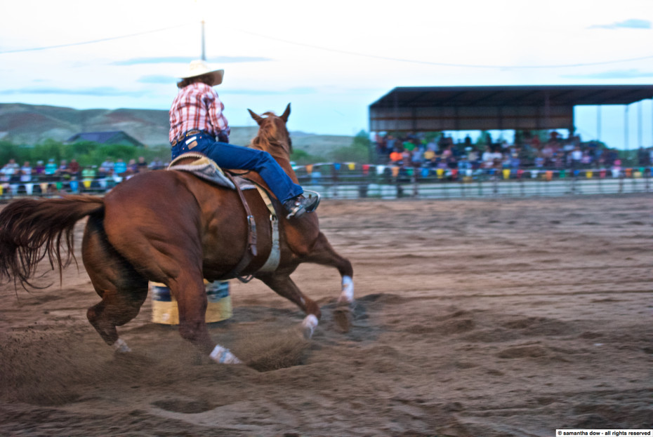
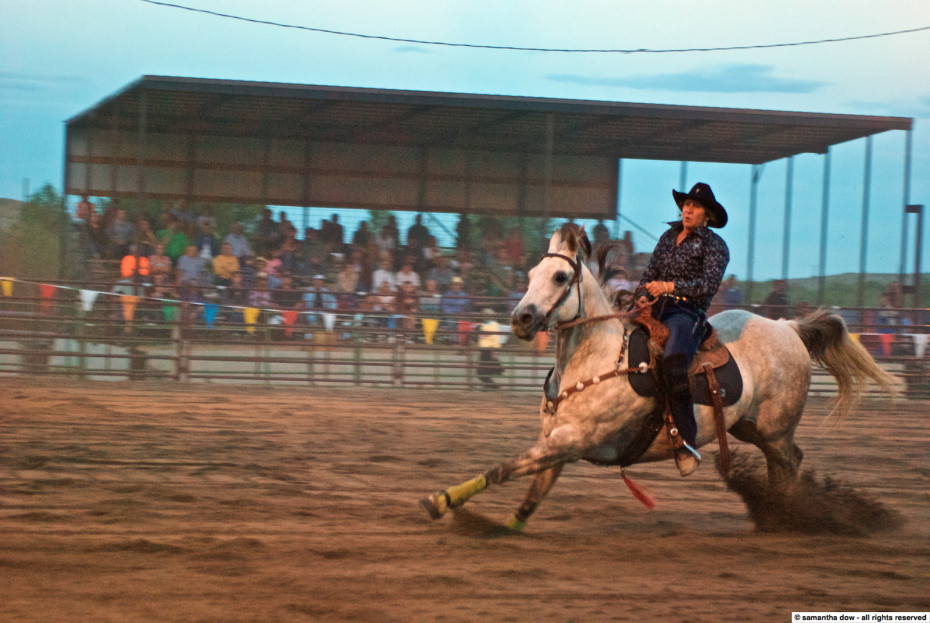
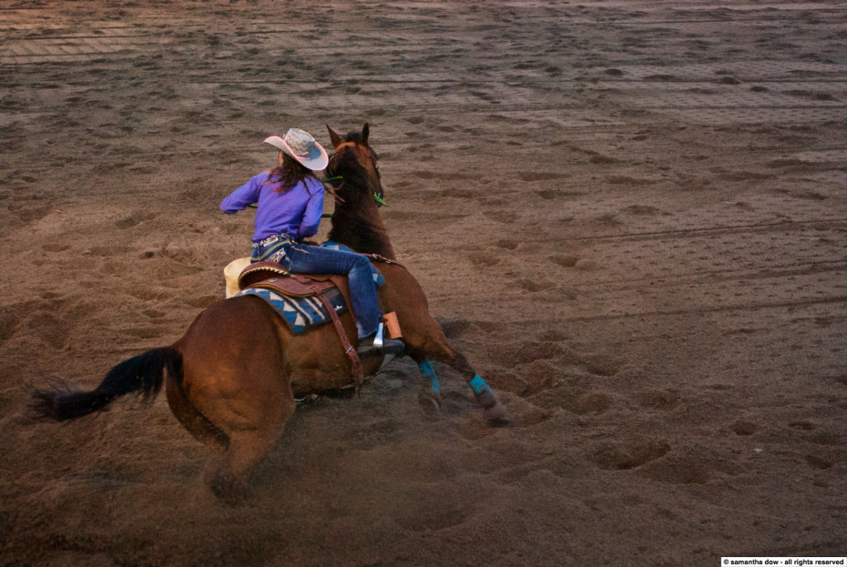
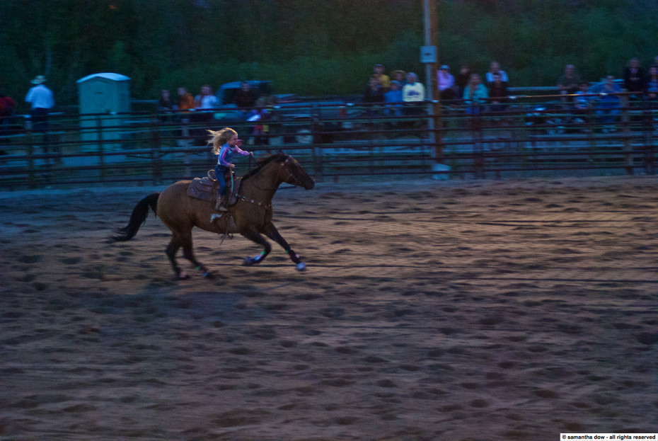
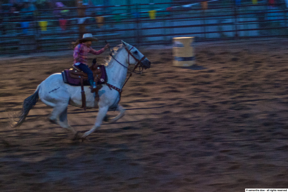
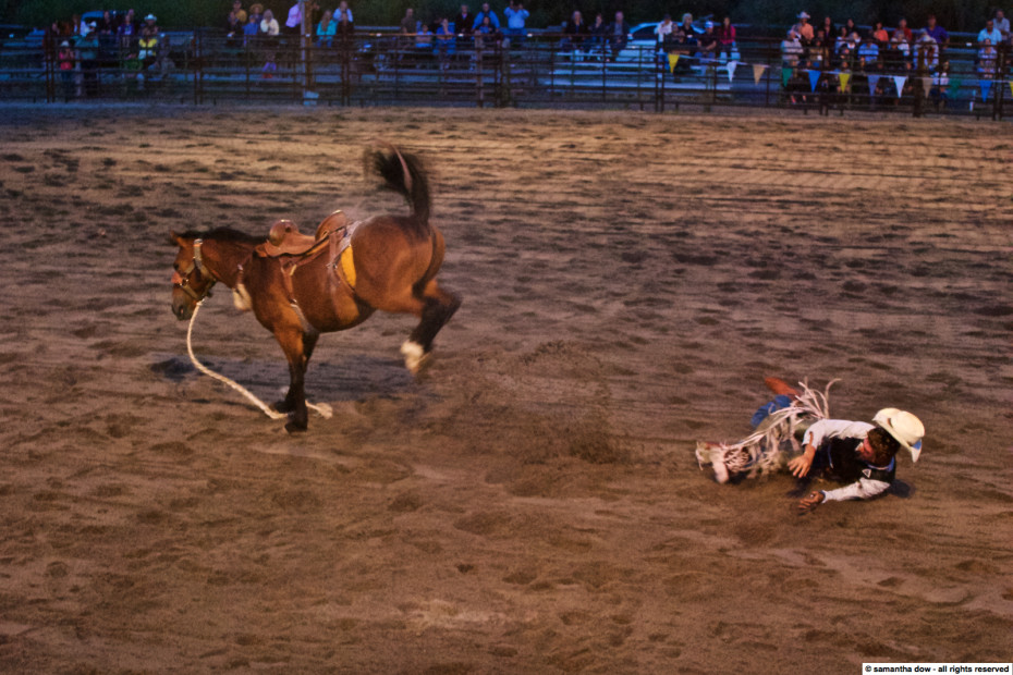
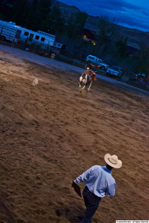
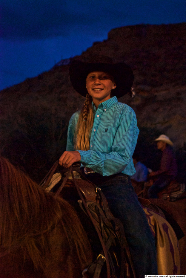
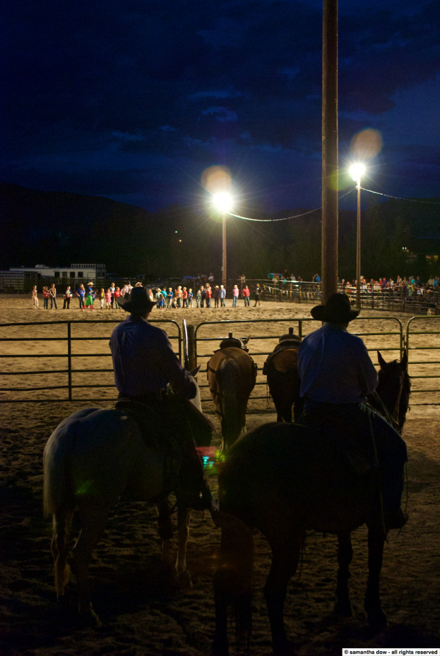
I know it seems like I travel a lot, but last week I actually started my first vacation of 2015 (provided you don’t count the fact that I took January 2nd off as part of the tail end of last year’s holiday break). I’m still finishing up the two weeks of PTO that I took off by doing some touristy stuff in and around New York (and running errands, always errands), but last week I attended the National Geographic Wyoming Cowboy Country Photography Workshop. It was quite fantastic. I’ve wanted to do one of the NatGeo workshops for a while, particularly after my trip to the Galapagos, and this one fit in with my already planned PTO schedule. The instructors (Jay, Jeff and Frank) were amazing, the entire class group was a blast, and everyone who worked at the CM Ranch was phenomenal. I may have threatened to kidnap the chef on more than one occasion.
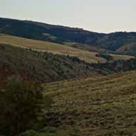
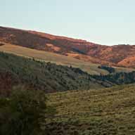
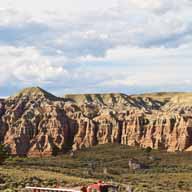
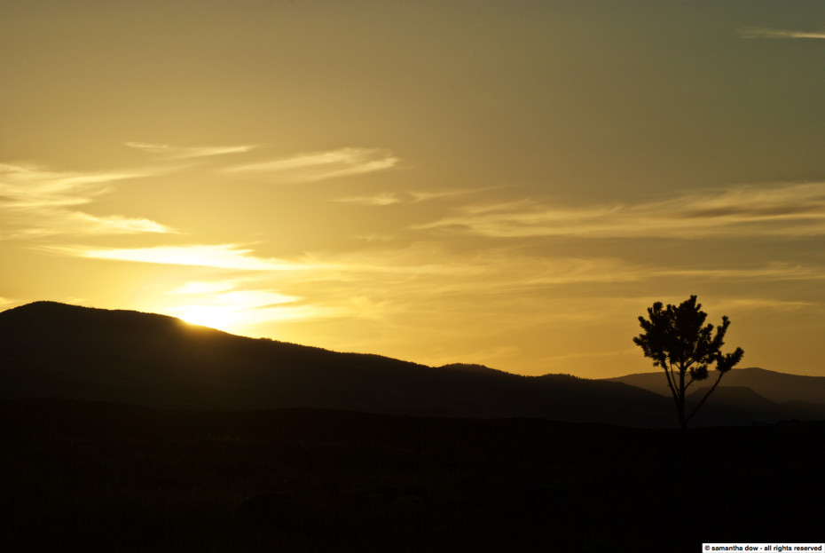
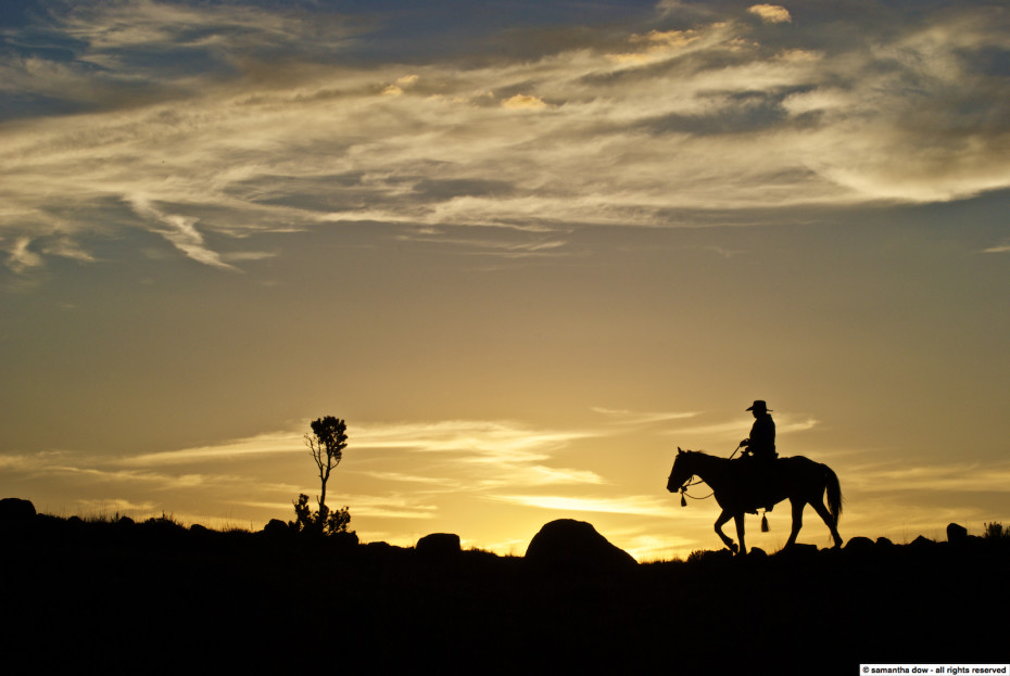
And the scenery…
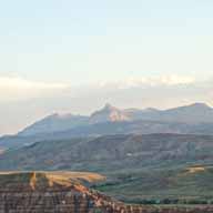
I haven’t spent a lot of time traveling to the “interior” of this country. Living on the coast has made it all too easy to choose to fly east when planning a trip somewhere, but a while back I made a commitment to try to see more of this vast expanse of a nation of ours. So I was really glad to have the opportunity to take this trip for that reason as well. Many years ago, one of my European friends remarked that the biggest difference they saw between Europe and America was just how big and open everything was here – Europe is not only geographically smaller, but developed at a time when, by necessity, everything needed to be close together. You simply don’t understand the vastness of America without seeing it.
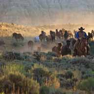
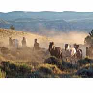
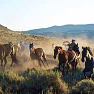
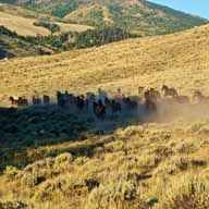
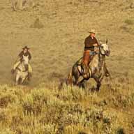
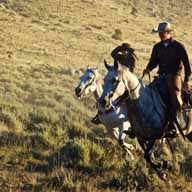
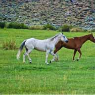
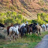
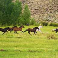
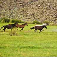
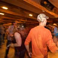
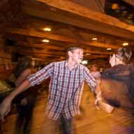
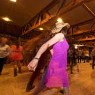
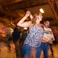
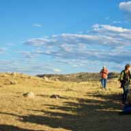
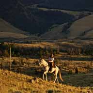
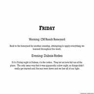
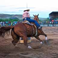
Rather than trying to explain everything up front, I’ve embedded descriptions into the slideshow itself. And if you think there are a lot of pictures here, please note that these 115 or so pics have been whittled down from over 3300 that I took over the course of the week. That was the hardest part.

























































07/26/2015
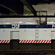
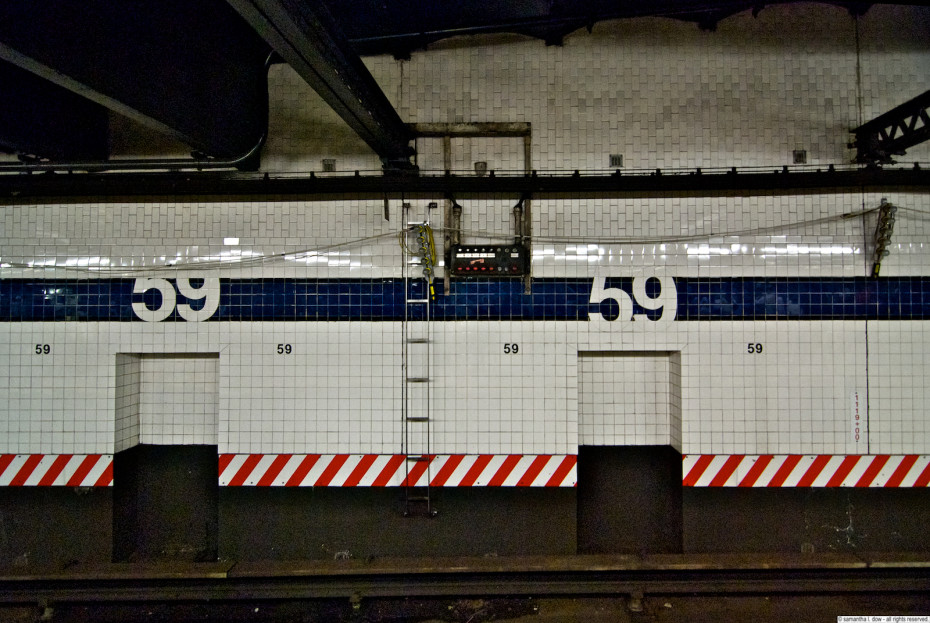
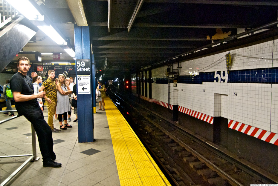
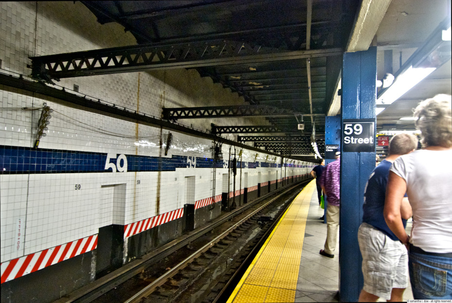
Back to columbus circle, this time for the A/B/C/D train platform. These trains were part of the IND line, and were built later than the IRT 1 train previously discussed, and Columbus Circle is one of the major transfer points between different lines in the system. The platform itself, being part of the IND and newer, doesn’t have mosaics that are as interesting as the IRT platform, but they do have useful, large “59” tiles identifying the station.
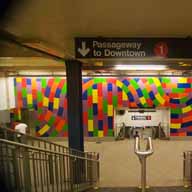
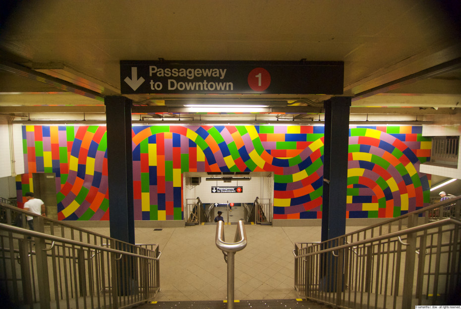
In addition, this side of the station, at the mezzanine level, includes a large colorful mosaic by Sol LeWitt titled “Whirls and Twirls”.
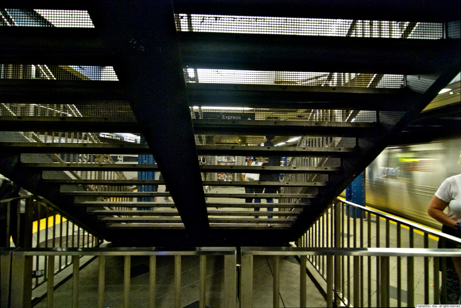
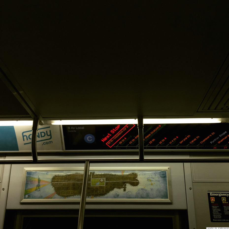
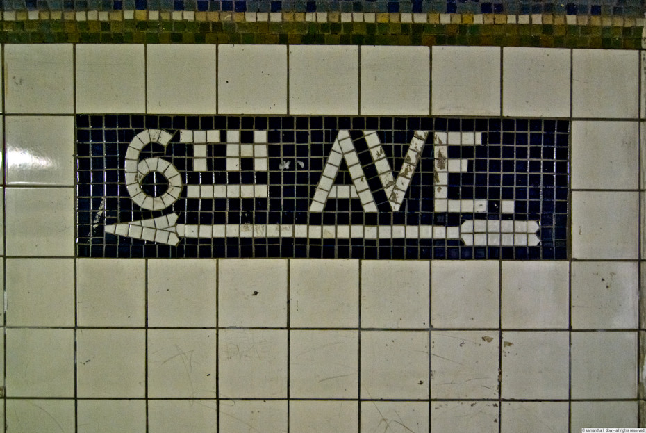
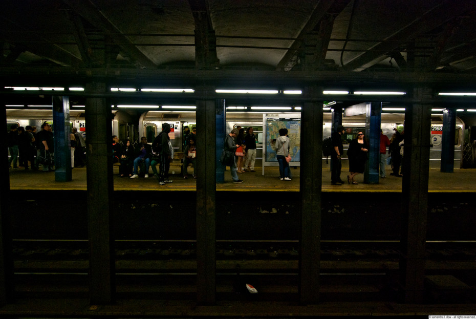
This station also highlights one of the unique features of the New York City Subway system – the NYC Subway is (I believe) the only system in the world that runs multiple different train lines along the same tracks. you can see that in this station, which has 4 lines running along 2 tracks. The “color coding” that was instituted when the systems were all merged were to help identify where trains shared “core” tracks – So the B/D are orange, and run south of columbus circle along 6th avenue (and are joined by the F/M trains), and the A/C are blue and run along 8th avenue (where they are joined by the E train below 50th street from queens). But north of columbus circle, the A and D go on the express track, while the B and C run on the same local track for the length of central park west until they split again after 145th street. The color coding gives the impression that they are the “same” train, but if you actually look at a map, you can see that each individually numbered train often starts and terminates in a completely different place, and there are places where different “colors” essentially merge for sections of the map. In places like London and Paris, you may see a local and express train run together, a particular line that has two “branches” where it will split in two potential destinations near its end, but I think NY is the only (or was the first) system that is designed to run multiple lines on multiple tracks. This also makes the system surprisingly flexible (given its age and funding issues) and able to divert trains to different tracks during construction and emergencies.
The only caveat – you cannot run an BMT train car on an IRT track. the IRT trains were narrower than the BMT trains. The tracks are the same width, but the tunnels are not, so BMT trains are too wide to fit in an IRT tunnel.
Station opened: September 10, 1932
Original system: IND
Trains: A/B/C/D
Source/More info: Wikipedia



07/12/2015
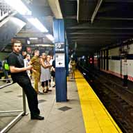
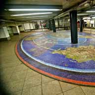
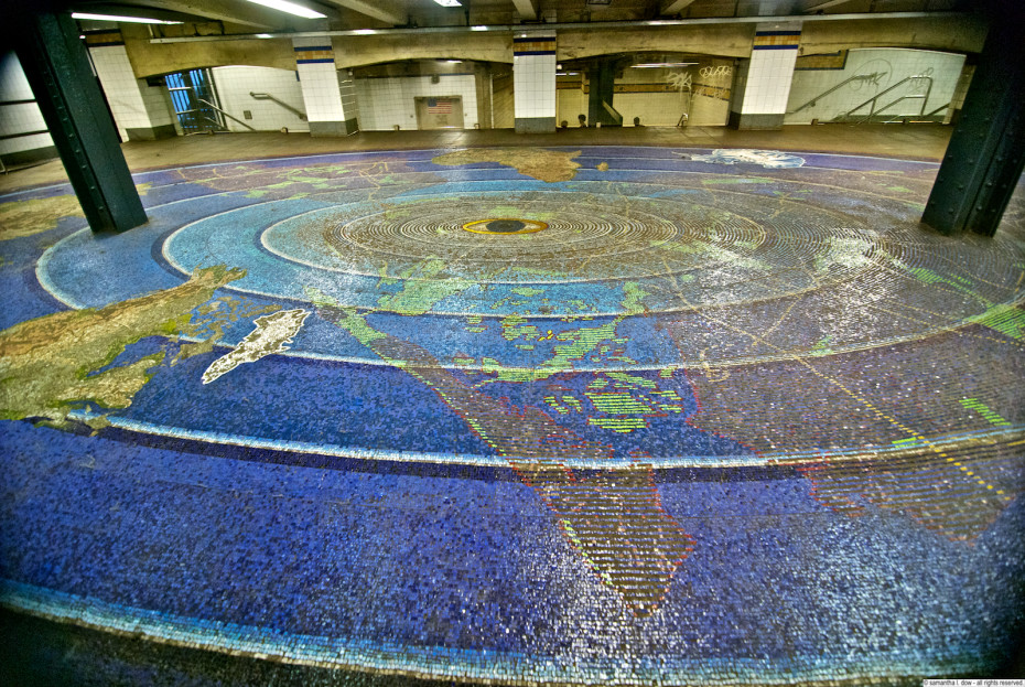
This platform/station is a combined transfer station with the Chambers Street A/C/E (IND) and forms a fairly large complex, but those platforms will be addressed separately. Directly upstairs from the 2/3 train platform itself is the first part of the “Oculus” mosaic, consisting of a giant tiled map of the world radiating out from an eye. The remainder of this installation will be addressed in the entry for the Chambers Street station.
The entire mezzanine runs approximately 7 blocks, and used to also contain a station specifically for the World Trade Center. The station, including the mezzanine with Oculus and the platforms, were damaged and flooded on 9/11. The artwork remained mostly intact and the station reopened 8 months after the attacks.
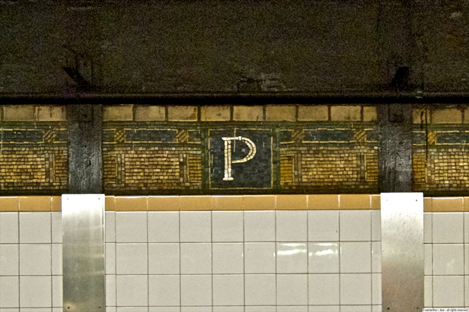
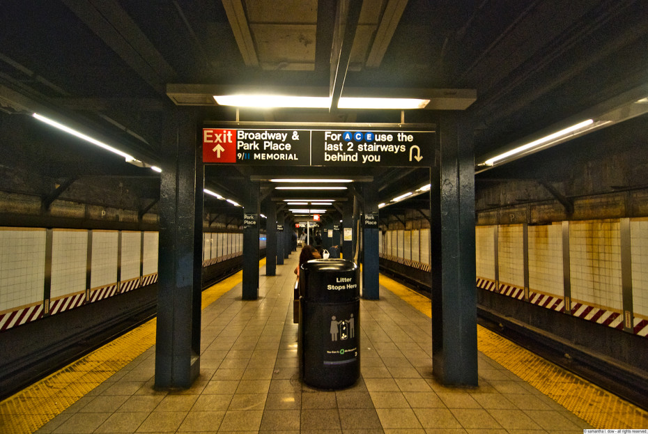
The Park Place platform itself only contains the standard IRT wall ribbon with the identifying single letter indicating the station. There is some obvious and extensive water damage going on at this platform, but it’s hard to say whether this is remnants of the flooding that occurred or just normal wear-and-tear of the last 14 years.
Station opened: August 1, 1918
Original system: IRT
Trains: 2/3
Source/More info: Wikipedia; MTA Arts & Design


07/4/2015
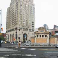
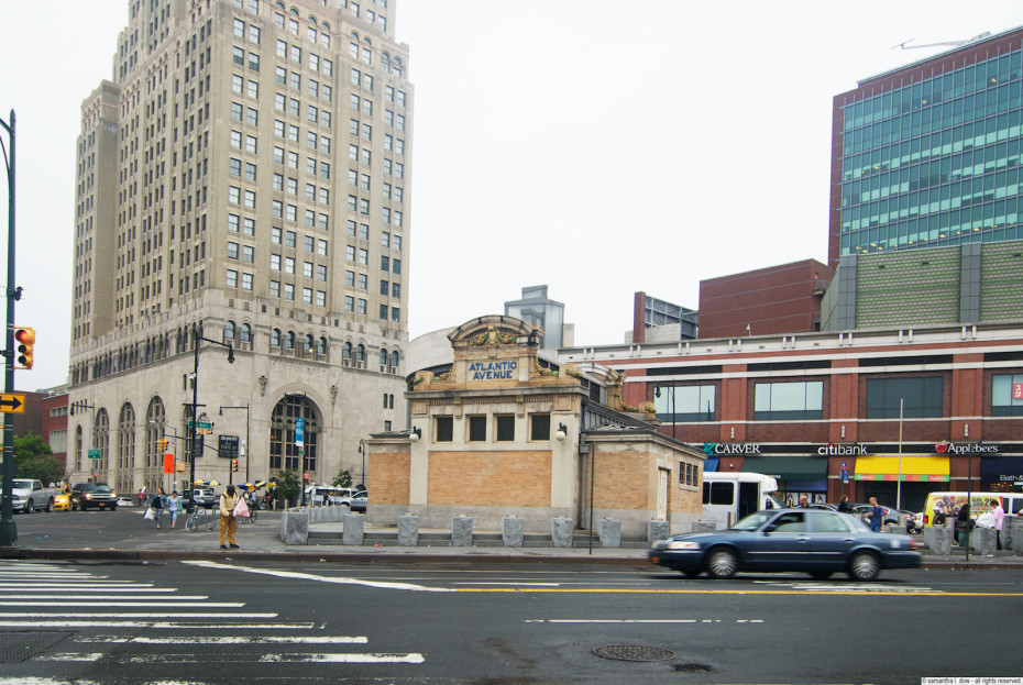
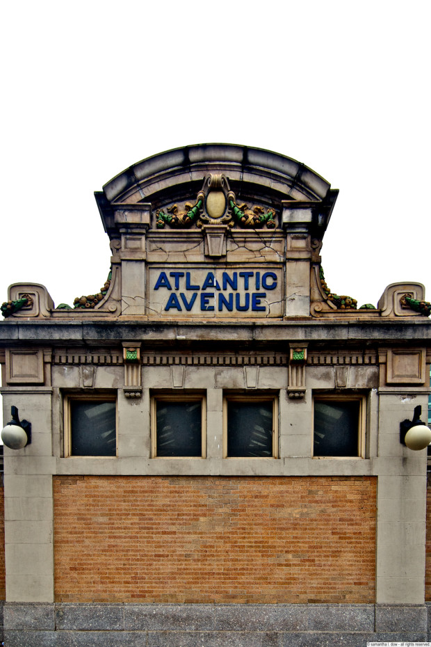
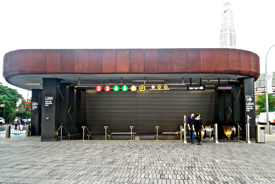
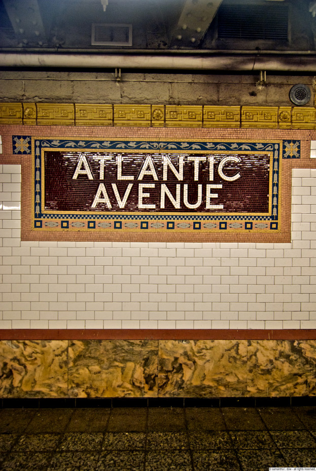
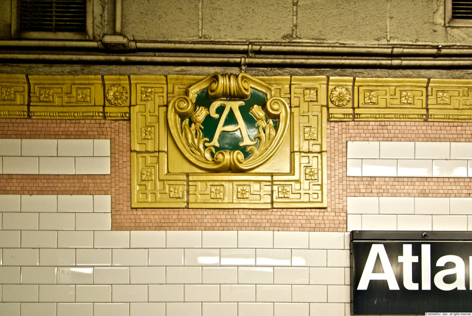
The Atlantic Avenue station is a monster transfer station in Brooklyn, that has been completely renovated in conjunction with the development of the Barclays Center. It actually connects 9 different subway lines, but through a series of connections and different platforms. I only ended up here because I was attempting to ride the D train along the route to Coney Island, forgetting that it was the day of the Mermaid Parade, making the trains an overcrowded mess, so once I hit Pacific Street, I turned around and came home.
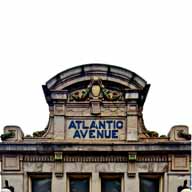
(Pacific Street is a station that technically doesn’t exist anymore and is now actually part of the Atlantic Ave complex – there will be a separate entry for the Pacific street platform). I decided to get some fresh air while I was turning around and took some shots of the original headhouse. as well as the shiny new Barclays Center subway entrance. The original headhouse is not used as an entrance anymore and was actually moved from its original location – it’s purely decorative now and is used as a skylight for the station. While this station has been entirely renovated, they have maintained the original (or original style) station mosaics and initial markers on this platform, even when embedding them in more modern surfaces, like glass brick.
Station opened: May 1, 1908
Original system: IRT
Trains: 2/3/4/5
Source/More info: Wikipedia, nycsubway.org



07/4/2015
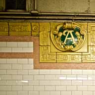
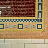
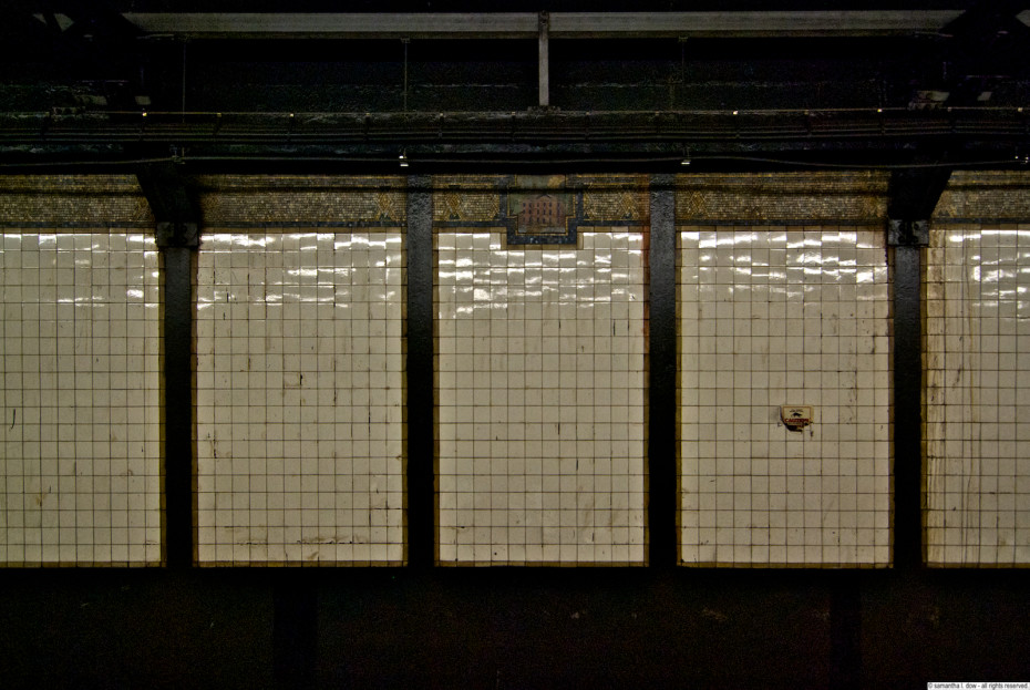
Reports indicate that this station was renovated in 2007-2009, but you wouldn’t be able to tell from the deteriorated condition of the wall mosaics. Here the barely visible and water-stained mosaics represent King’s College, which is now known as Columbia University, and which was located downtown in its original incarnation.
Station opened: July 1, 1918
Original system: IRT
Trains: 1/2/3
Source/More info: Wikipedia


06/20/2015
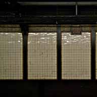
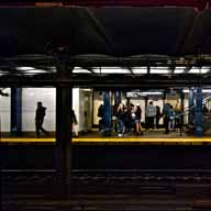
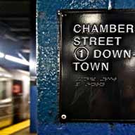
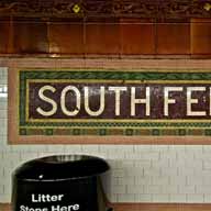
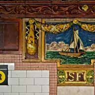
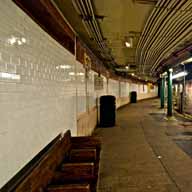
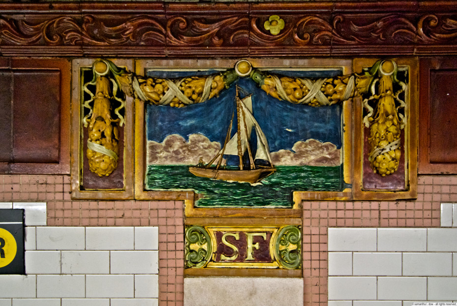
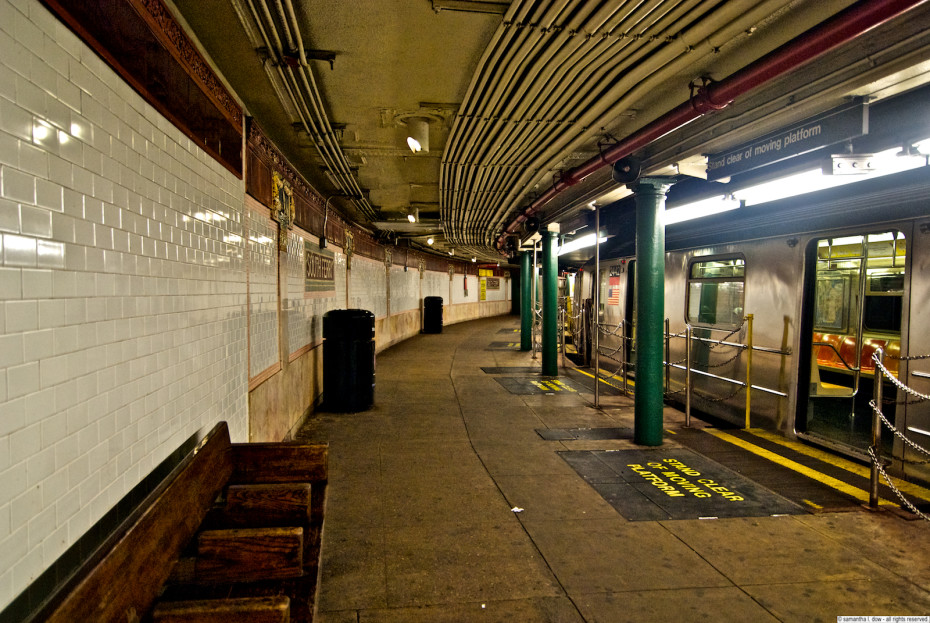
The South Ferry Station is one of the oldest in the system, and was not built to accommodate the current configuration of subway cars. Because of this, an entirely new station was built and opened in 2009. Unfortunately, the new South Ferry station suffered massive flood damage during Hurricane Sandy and was effectively destroyed, so the “old” South Ferry Station was brought back into use.
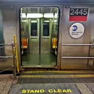
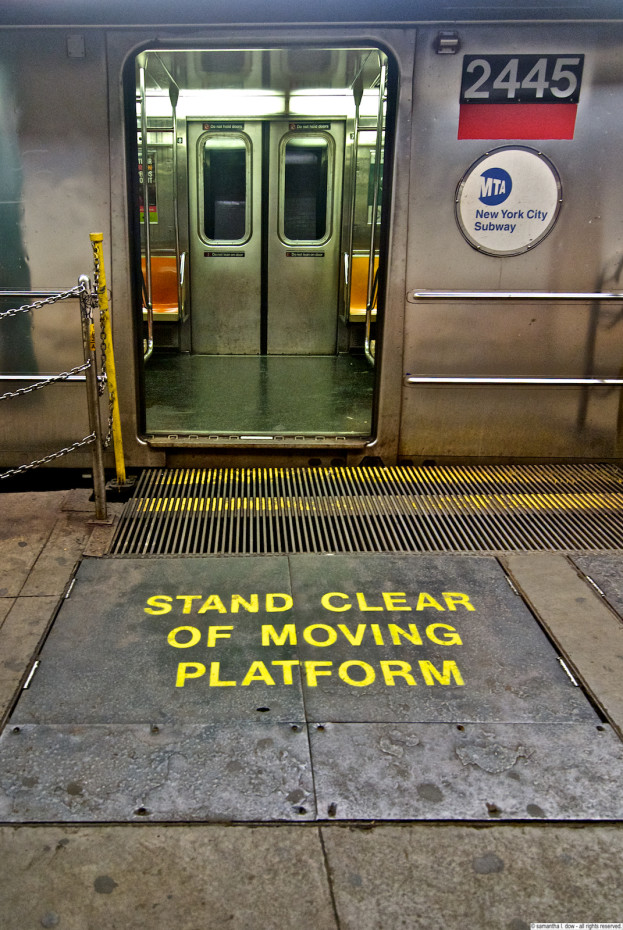
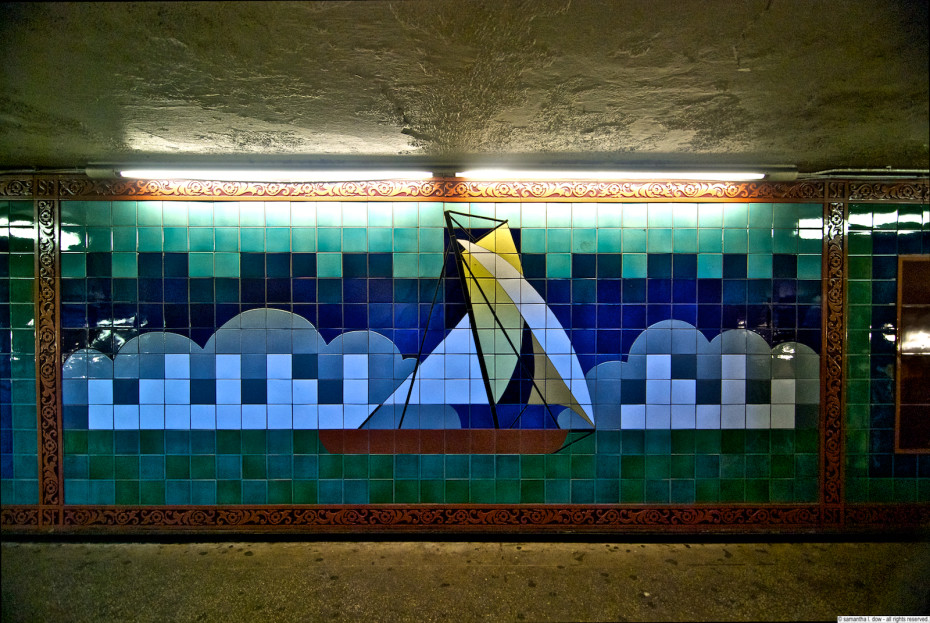
This station is one of the few without a straight platform – it consists of two “loops” – only the outer one is in use for passengers. It is also too short for the current 8-10 car train configurations, so you must be riding in the first 5 cars of the train to exit at this station. In addition, the curved nature of the platform requires moving platform “fillers” to fill the gap between the train and the platform at each train door. Needless to say, despite the incredibly beautiful mosaics and artwork in this station, there were a significant number of practical reasons why this station was taken out of service, and it was only the short-sighted failure to flood-proof the new station (which sits at the tip of lower manhattan below sea level in a massive flood plain) that brought this station back into view. Definitely a boon to someone like me who wants to photograph such classic features. Not so much for the hordes of people who have to commute in and out of here during the week.
Station opened: July 19, 1905; closed March 16, 2009; reopened April 4, 2013
Original system: IRT
Trains: 1
Source: Wikipedia (click here for some photos of the extensive damage to the new station as well)























































#/media/File:Bleecker_Street_IRT_004.jpg)