so, as I mentioned the other day when I posted stuff from coney island, there was no sound on the video of our ride down there. In actuality, I had added a soundtrack from my iTunes library (Fatboy Slim’s “Build It Up, Tear It Down”), but not 3 seconds after the video got uploaded, I got a notice from youtube that my video may contain copyright-protected elements. So rather than tempt fate (and the RIAA), I removed the music and uploaded a slightly less interesting noiseless version. This morning, due to my “early waking” insomnia, I was checking out my video states, and, while looking at all the buttons, I noticed something called “audioswap”. so I checked it out. My original song choice wasn’t in there, but I found one that accompanied the video pretty well (appropriately titled “bicycle rider”), and I added it in. At the moment it’s still processing, but it should be good in a few minutes. Same link.
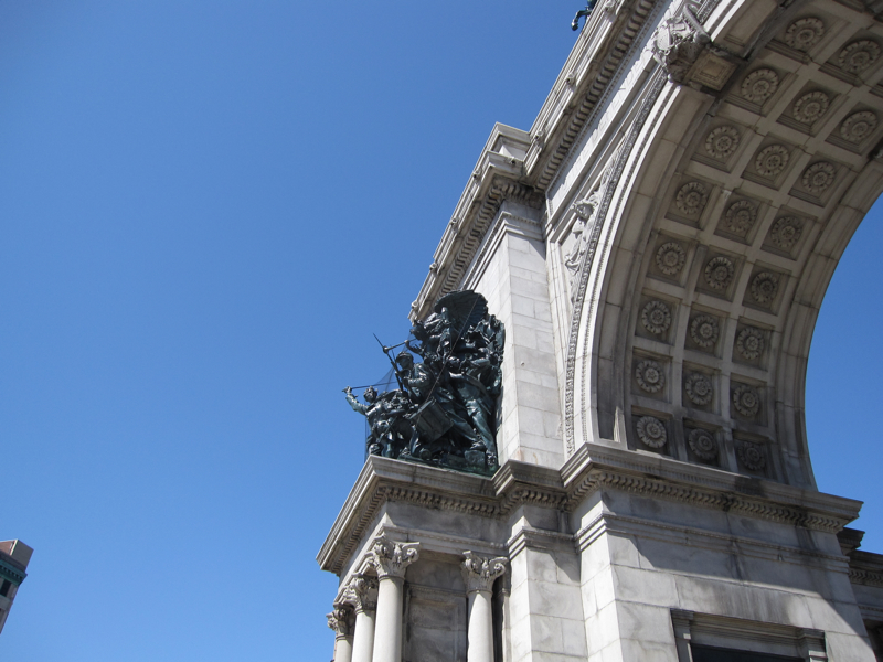
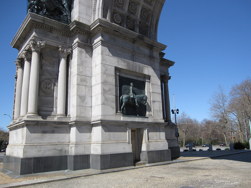
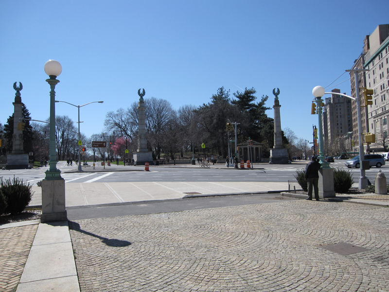
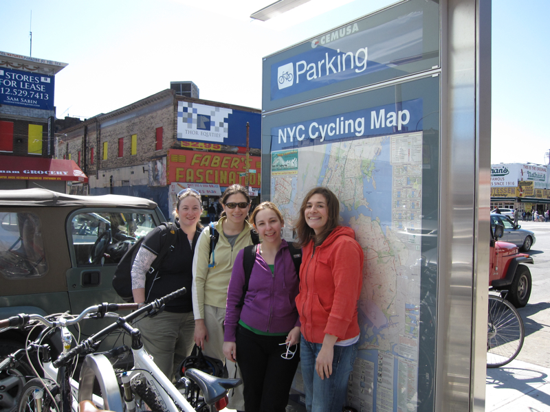
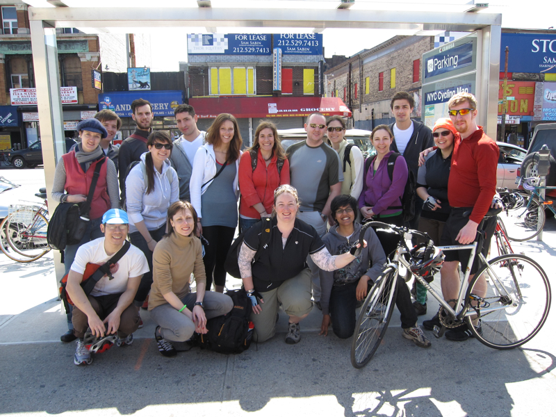
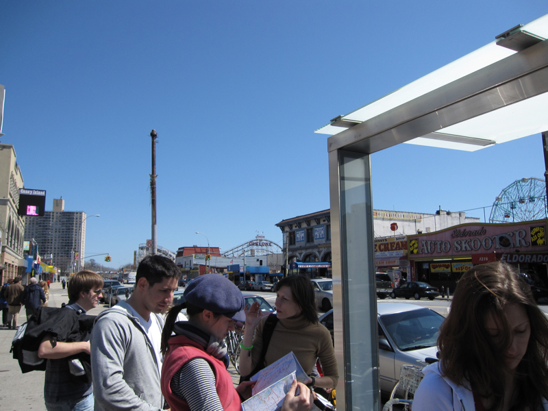
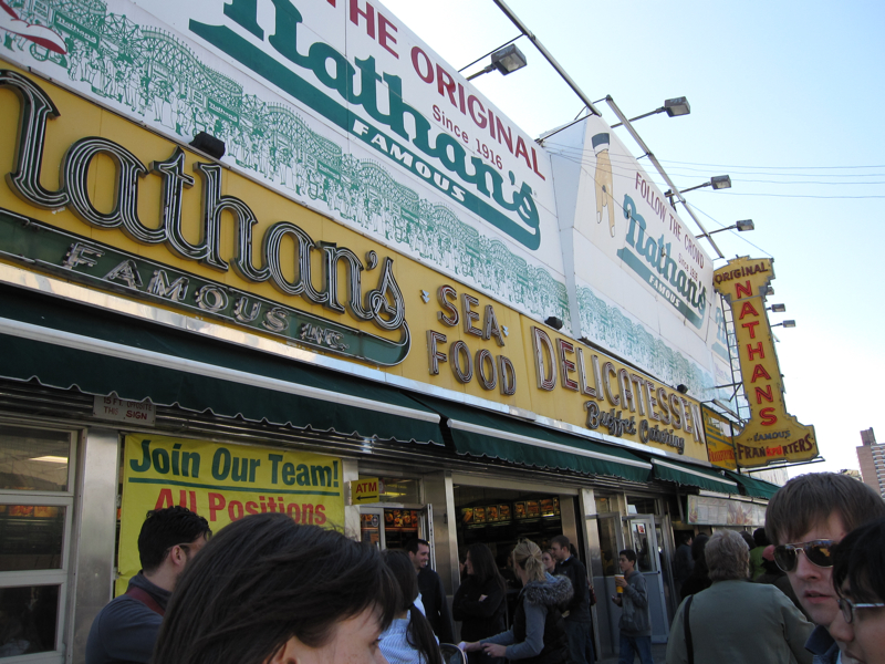
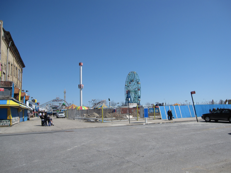
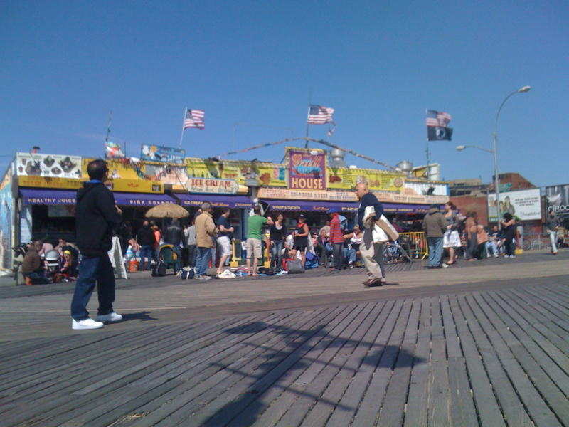
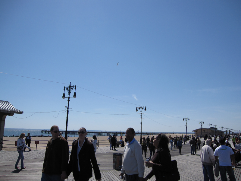
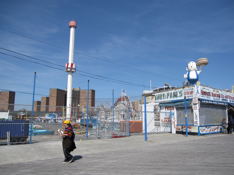
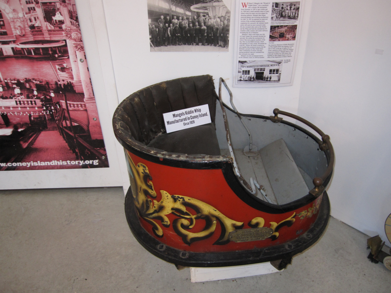
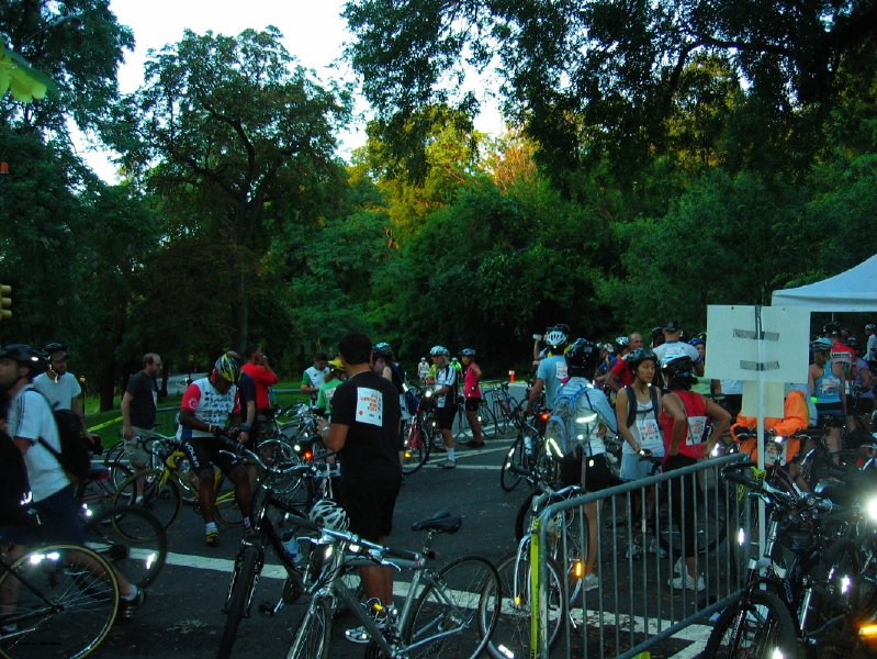
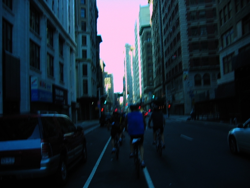
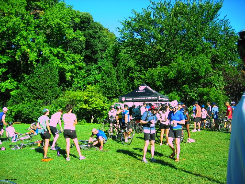
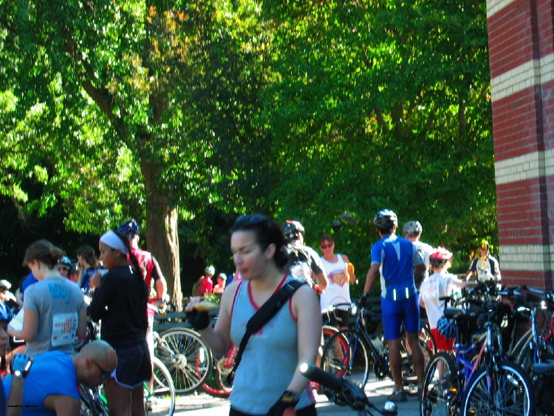
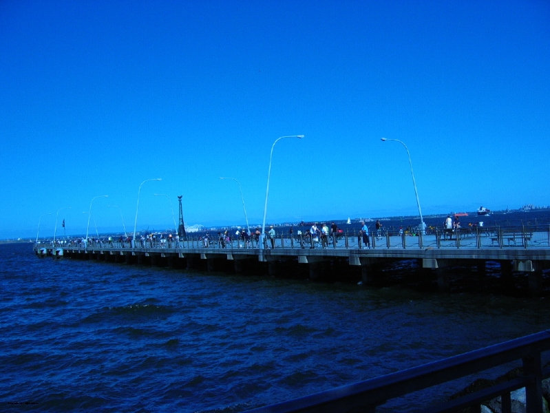
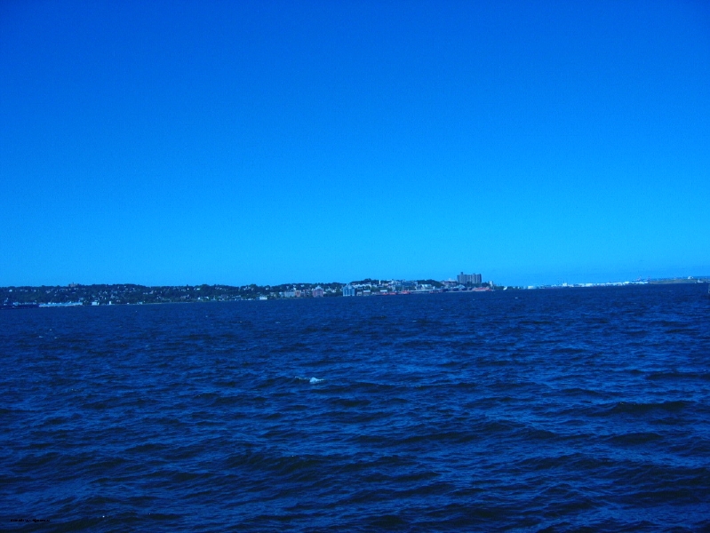
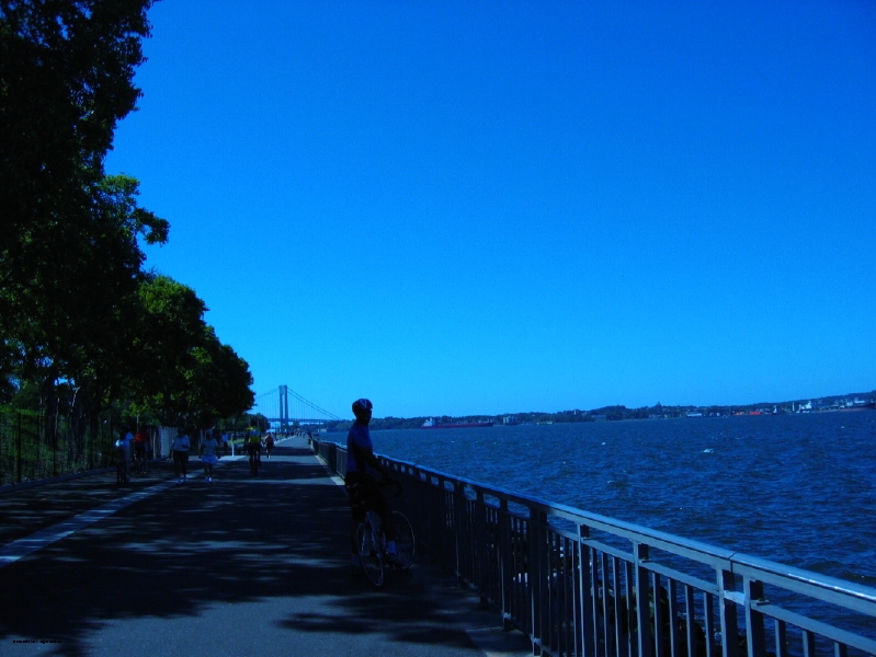
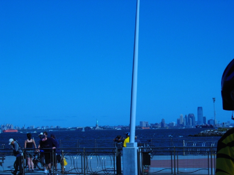
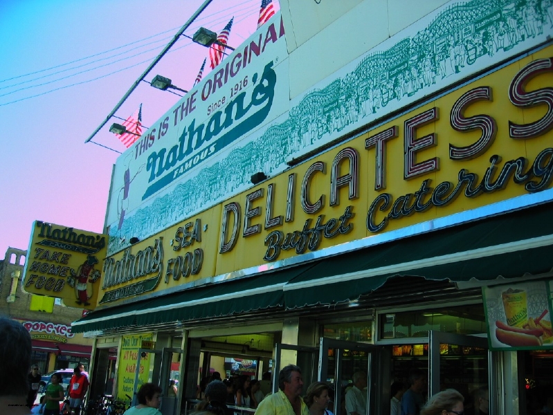
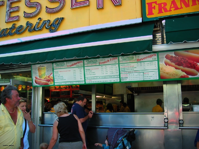
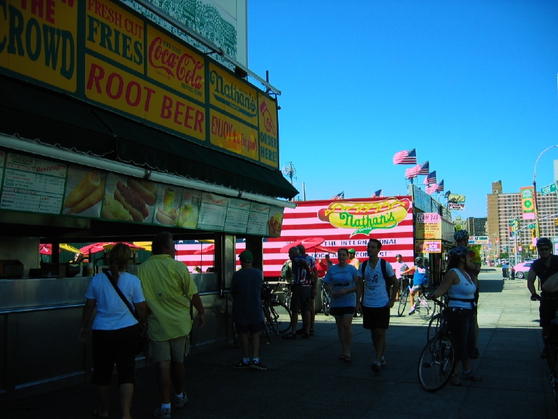
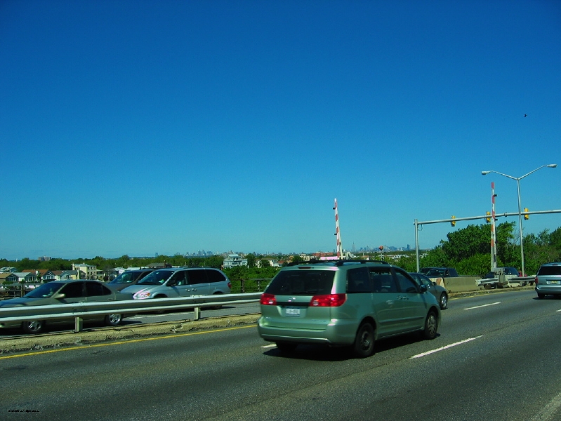
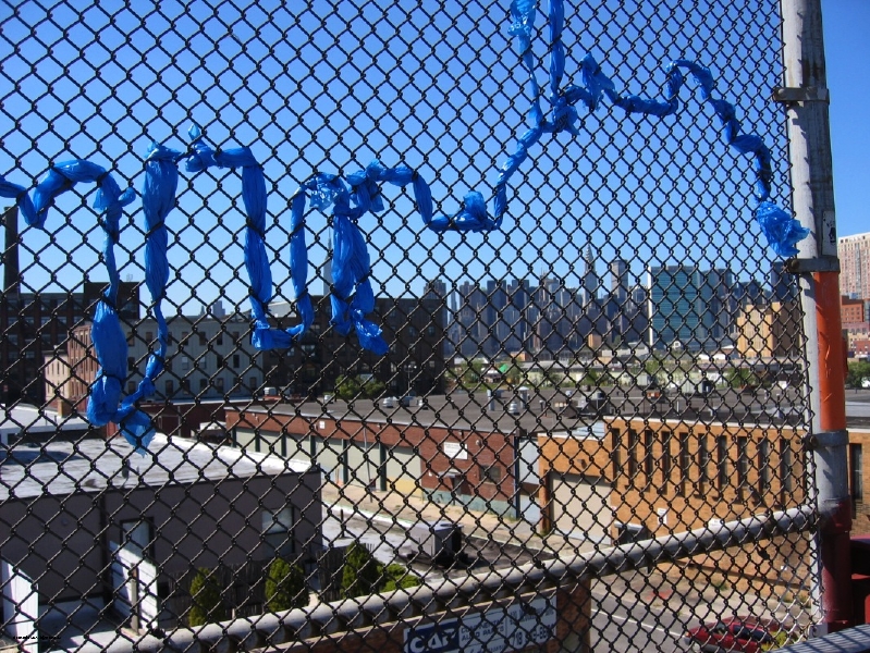
In addition to the video I put together last night, I did also take some actual pictures during the stops on our ride. I included a few of these at the tail end of the video, but, due to the conversion process, the quality is not so good. Here they are in all of there originalness.
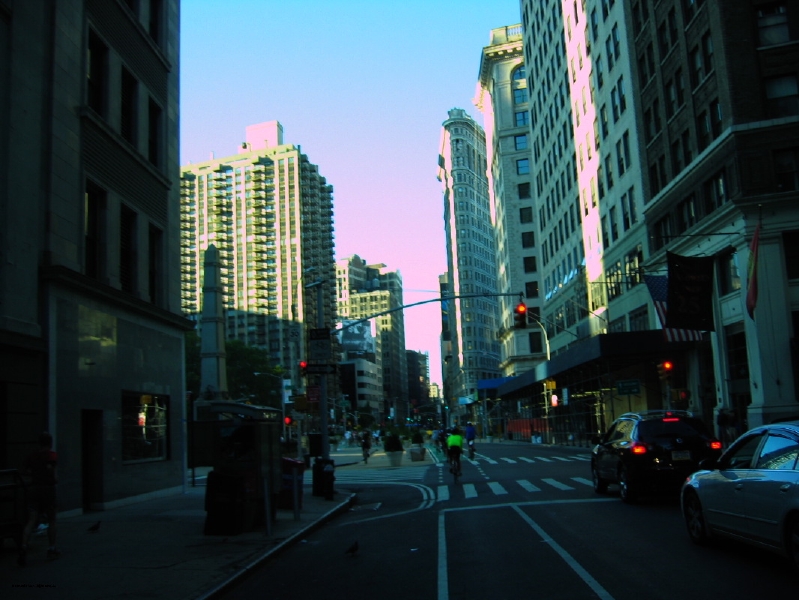
This past Sunday, I decided to be adventurous and meet up with some folks that I had only previously “met” on Twitter. In particular, brooklyn by bike had organized a ride from grand army plaza to coney island, and since it was such a beautiful day, I decided to join her (and almost 20 other people) on the ride. It was great. I actually biked down from my apartment to grand army plaza before the official ride, so I had 10 miles down before we got started. I also decided to finally experiment with my “homemade” camera mount on my bike, which is essentially just one of those gorillapod tripods wrapped around my handlebars with my canon point and shoot attached. The footage ended up not being too bad, and once I sped it up so that you could see the entire trip in under 5 minutes (and turned the volume way down low so that your speakers aren’t destroyed by the overwhelming wind sounds and our sped up chipmunks-on-crack talking), it’s kind of fun to watch. I was going to set it to music, but youtube has gotten really good at spotting things that need licenses and, well, I’m not creating my own track, so it’s got little to no sound. There are also some still pictures at the end of the group. Enjoy!
UPDATE: new soundtrack added via youtube’s audioscan service. all legal and everything!
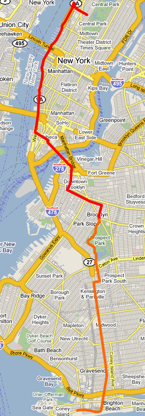
and, if anyone’s interested, here’s a map of my trip from the upper west side to coney island. I skipped mapping the trip back to prospect park, since we followed the same route down (having trouble embedding from google maps at the moment, so a static image will have to suffice). Red line was my solo ride to brooklyn, orange is the group ride down to the beach. And I would totally do this again!
Yes, even I’m amazed at how long it took me to actually get these things up. But I decided that it needed to get done before I went on another trip and only added to the photographic backlog. I’ve finally posted photos from my various fall cycling adventures. There aren’t that many, because I was busy holding onto the handlebars and trying not to fall into traffic (again), but if you’re looking for proof that (a) I’m willing to wear ridiculously unflattering clothing and (b) I have an almost uncanny ability to forget to reapply sunscreen, it’s all there.
It’s almost turkey day, and, more importantly, it’s time for a 4-day weekend, which will be very much appreciated, particularly after this latest cold/flu season. I look forward to passing out on the couch on numerous occasions, to the point where my family thinks I have narcolepsy.
But first, the adventure is all about getting to Thanksgiving. I think I’ve mentioned before that I live 1/2 a block from the Macy’s parade route. Normally, I do everything in my power to get the hell out of NYC before the parade starts. This year, due to some logistical issues, we’re not leaving until mid-day on Thursday. I, my parents, and my parents’ car all live along the parade route. So that should be…interesting. On the flip side, if I leave my apartment at any time tomorrow morning, I will actually get to see the parade for the first time in my life. I give it even odds that I sleep through the entire thing.
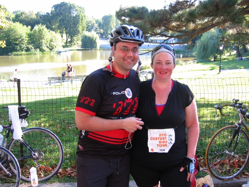
Today I rode the 55 mile route of the NYC Century Bike Tour sponsored by Transportation Alternatives. Aside from the fact that I now look like a giant lobster (albeit one with bike short and bike glove lines) because I sweat off my sunscreen by about 8am, it was a great day. I can’t feel my legs, but it was still great.
Here’s the route I took. It was so long that google maps made me break it up into two lines, but you’ll see that when added up, my total ride was about 61 and a half miles. Not bad if I do say so myself…
And now I’m going to crawl under my covers and hope that this ridiculous sunburn chill goes away at some point. As it is, I’m going to have to wear long sleeves to work tomorrow, to hide the combination of t-shirt and bike glove tan (making it look like I’m wearing giant red (or, really, purple) arm warmers). I always wear pants, so hiding my legs isn’t too much of a problem…although I imagine it’s going to hurt like a mofo.
[Update 2015] In an effort to reduce the number of holdover pages on the blog, I am slowly (very slowly) integrating albums into the appropriate historical posts on the blog itself. As such, photos can now be found directly below.
Today, instead of just going down one road and following the same route back, I decided to be adventurous and actually loop around lower manhattan, returning up the east side…
It was nice, except that, on the east side, you get kicked off the greenway at around 34th street. All of the maps say that you pretty quickly loop back onto the greenway once you’re past the UN, but due to construction and other things blocking the way, I actually ended up on 1st and York all the way up to 72nd street. Which meant not only riding in traffic, but riding in UN diplomatic traffic (meaning cars driven by people who have clearly never had to qualify for a NY driver’s license). So that was…interesting. Needless to say, I made it back alive, but my middle finger got a bit more exercise than normal on that leg of the trip. There may have also been some yelling.
Now I need to go eat something, because it’s 1pm, I just did a 3 hour ride (including traffic “delays”), and I’m starving.
I finally figured out how to export my pathtracks data to an actual google map so that I could link directly rather than take a screenshot. Also, moving it to google maps allowed me to adjust the path. Thanks to the limitations of gps, or my phone, or pathtracks, i was tracked riding “through” many manhattan buildings instead of down the actual street. It also seemed to think that when I hit the tunnels around grand central (admittedly a gps black hole), that I doubled back for about half a mile. so “straightening” out my route eliminated about a mile from what pathtracks said I had actually biked. Which was good (more accurate) and bad (I really thought I had gone that extra mile!). On the plus side, maybe this is why the summer streets people think that the route they marked out is 6.9 miles long, when in reality it’s closer to 5 miles.
As usual, this is the one-way route. For some reason the crashes get more frequent on the way back so it never saves properly.
Today I decided to head downtown instead of uptown, because I was getting a little bit bored with the route up to the bridge (or really, the amount of trash you have to wade through in the morning before the parks department comes through and cleans up after everyone who picnics up there the evening before). So, after not having gone downtown in a few weeks, and reading about how they finished work on another stretch of Riverside Park, I decided a trip down to battery park was in order. Oh, and I learned the trick of how to bypass the construction around ground zero by hanging a right at Stuyvesant high school and continuing to ride right next to the water. I got a little turned around once or twice trying to find the actual “bike” (and not pedestrian) route, but it was very nice. Here’s an image of my pathtracks map (unfortunately, I can’t figure out how to embed the actual map yet, but I’m working on it…).
And it was a perfect day for a ride – it was only 61 degrees when i got up this morning, and while riding I (more than once) wished I had put on a long-sleeved shirt. Â Awesome.
(note that I only track one direction – no point in wasting my iphone battery on tracking the exact same route back. Â So the total ride was a bit more than 14 miles today). Click on the thumbnail for a larger image.
Unlike last weekend, when I had to sit at home all day waiting for the cable guy, who showed up exactly the last minute of my service “window”, today I got to get up early and take advantage of Summer Streets. Which was fabulous. It got a little crowded at times, and there were these REALLY annoying joggers running in formation who insisted on running in the “bike” half of the split bike/runner lane on the brooklyn bridge (they wouldn’t have been quite so annoying if they didn’t condescendingly lecture bicyclists about keeping out of their way to boot), but all-in-all, a really nice way to spend a Saturday morning. I’m definitely doing it again next week.
For those who are interested, here’s a general approximation of the path I took. the blue “points” are where I stopped and dropped a pin in google maps on my iphone when I got the chance.
I also took some photos, but I need to get them off of my camera first before they get posted.
I’m also trying to figure out how, if the “official” summer streets route is 6.9 miles (meaning 13.8 when doubled), AND i biked over from the west side through the park (adding at least a mile on the way over since I followed traffic and went down and around), AND I tacked on a ride over the brooklyn bridge at the end, google maps is saying that my route is just under 14 miles. It doesn’t make any sense.